


|
| We pause on the trail, plenty of snowy mountains in the distance |
This day, we had a pleasant breakfast, and then at 9:30, it was off for a short ride across a tributary of the Waimakariri to a jumping-off place on the road, for a very strenuous climb. Fifteen hundred feet increase in altitude for our muscles to take us on, and when we reached the Bealey Top Hut only six kilometers’ (around four miles) walking distance from our start, Mark and I felt it.
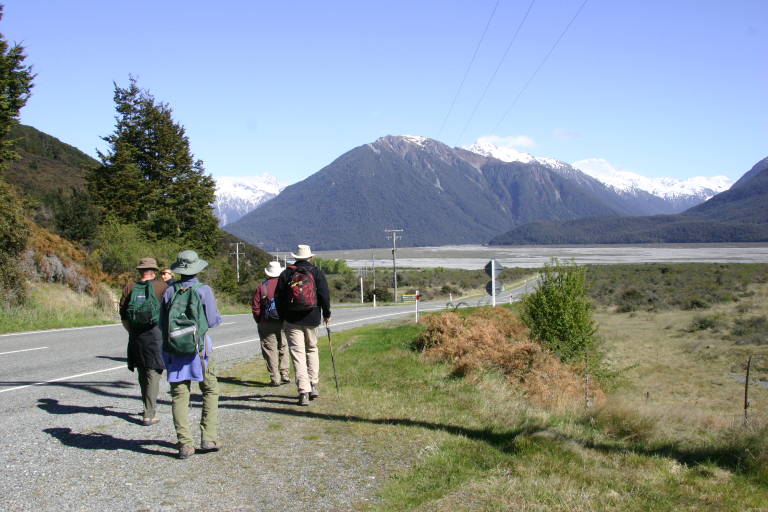

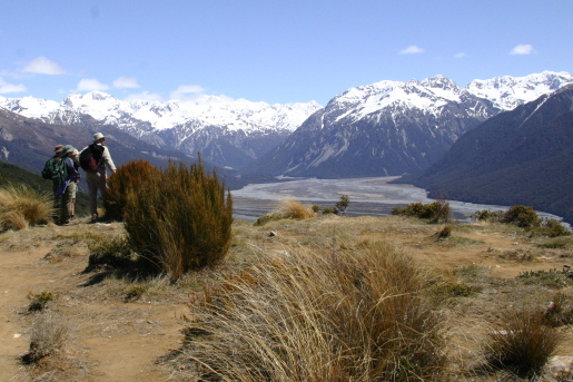
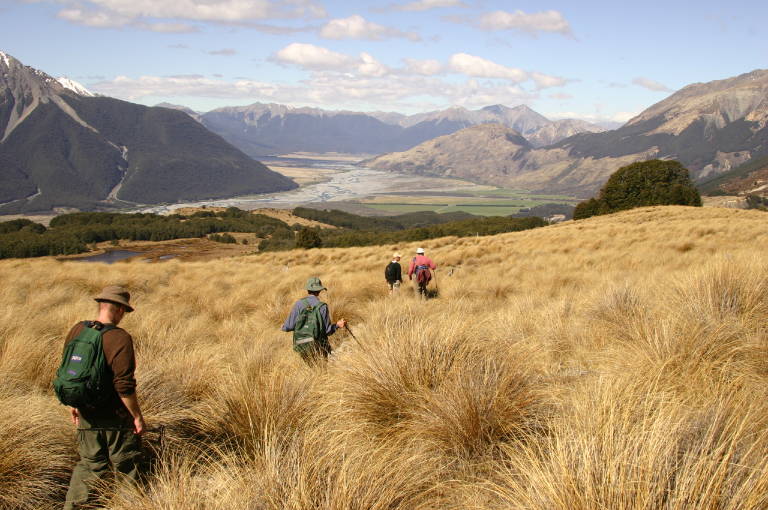
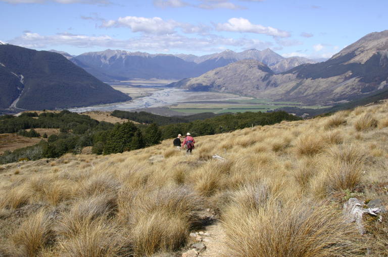
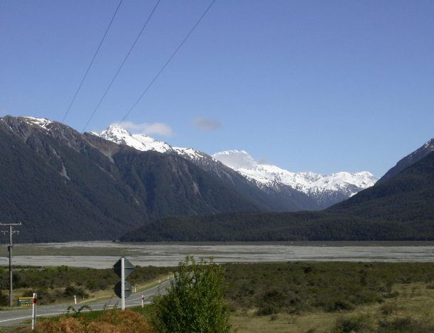
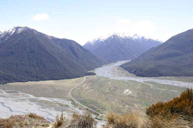
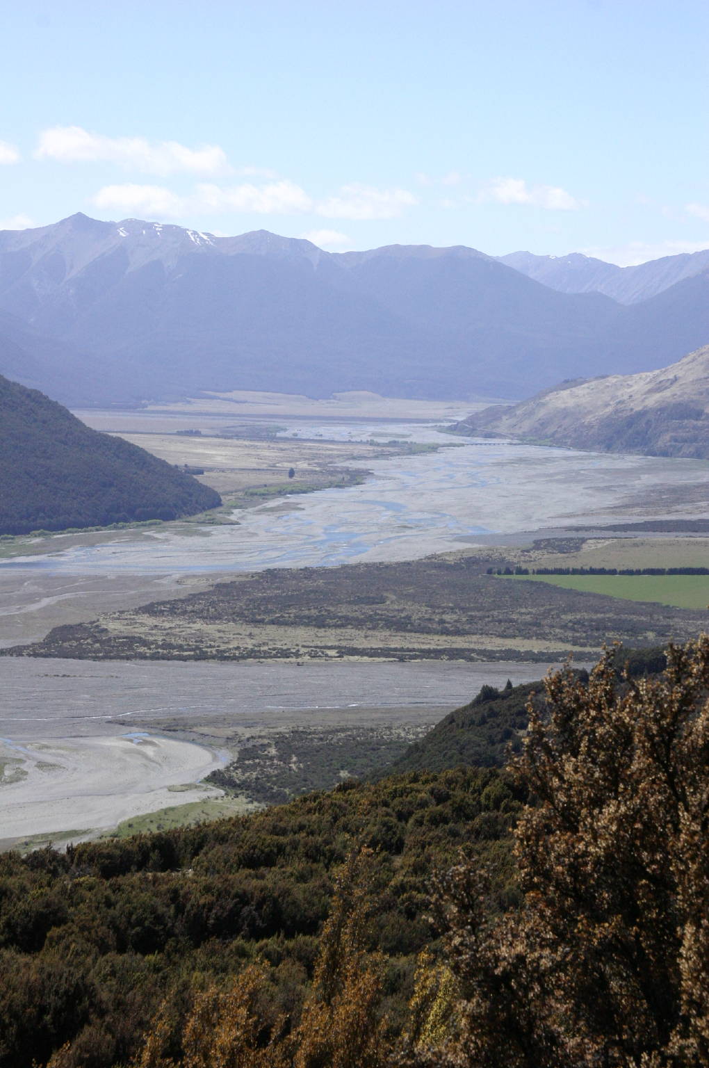
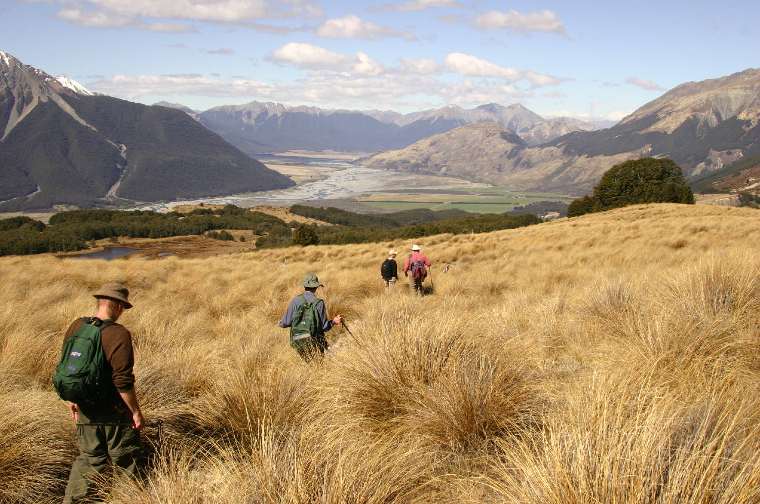
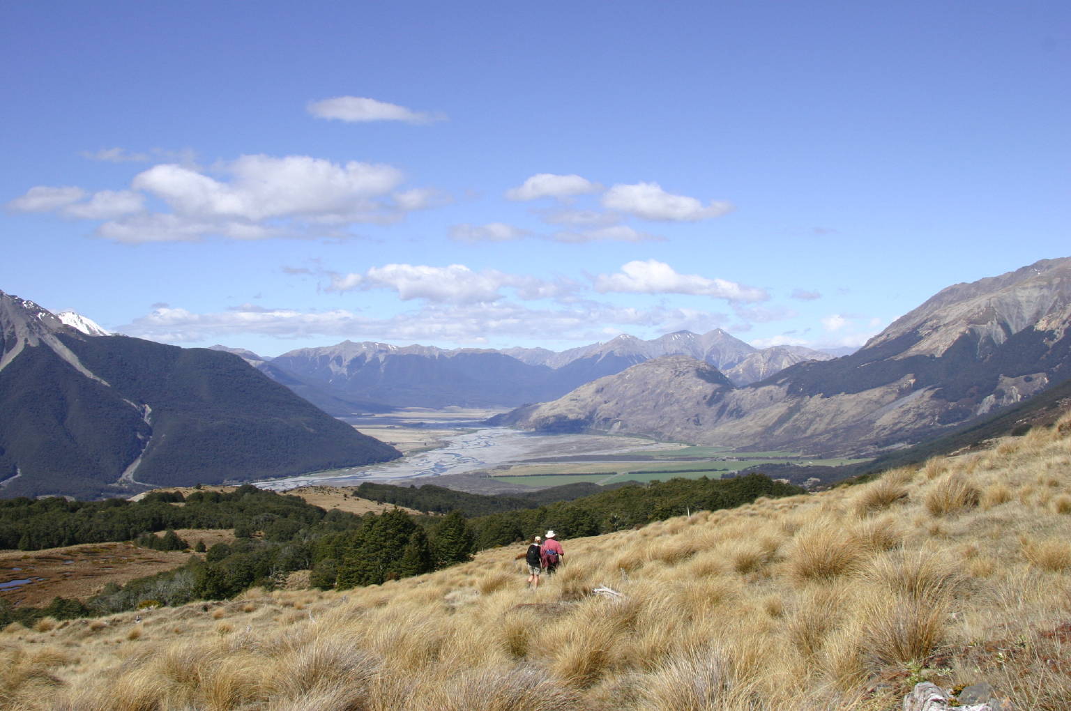
But I guess I’m getting ahead of myself. At the left (big image, small), we’ve just left the bus, and are beginning the walk. Between Jim and Pat’s heads you can just see Nicky, and to the right is Tom, with Mark on ahead a bit. This was only ten minutes after leaving the Lodge, and fifty minutes later, we had gotten high enough so that we could look down to get a nice view (to the right: big image, small) of the Waimakariri, which Nicky described as a “classic braided river”. I’ll have lots of pictures of the river farther on. You can just picture it in the rainy season, but now there were just the trickles.
| ||

|
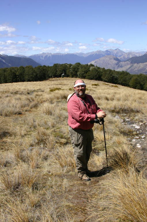
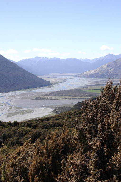
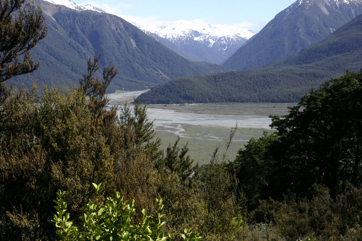
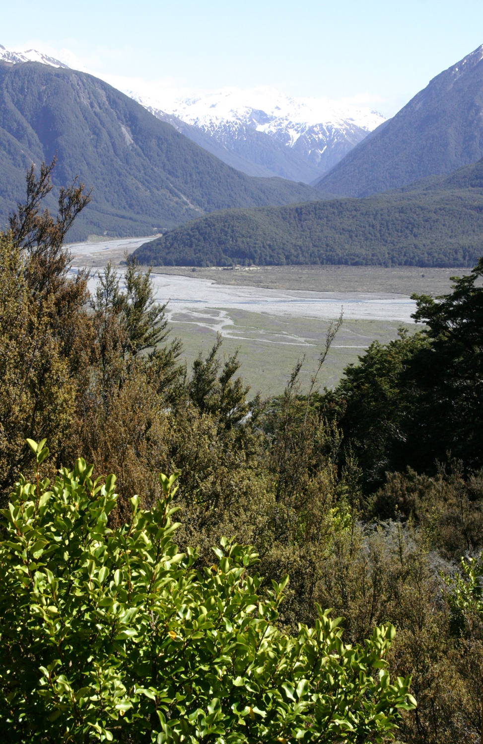
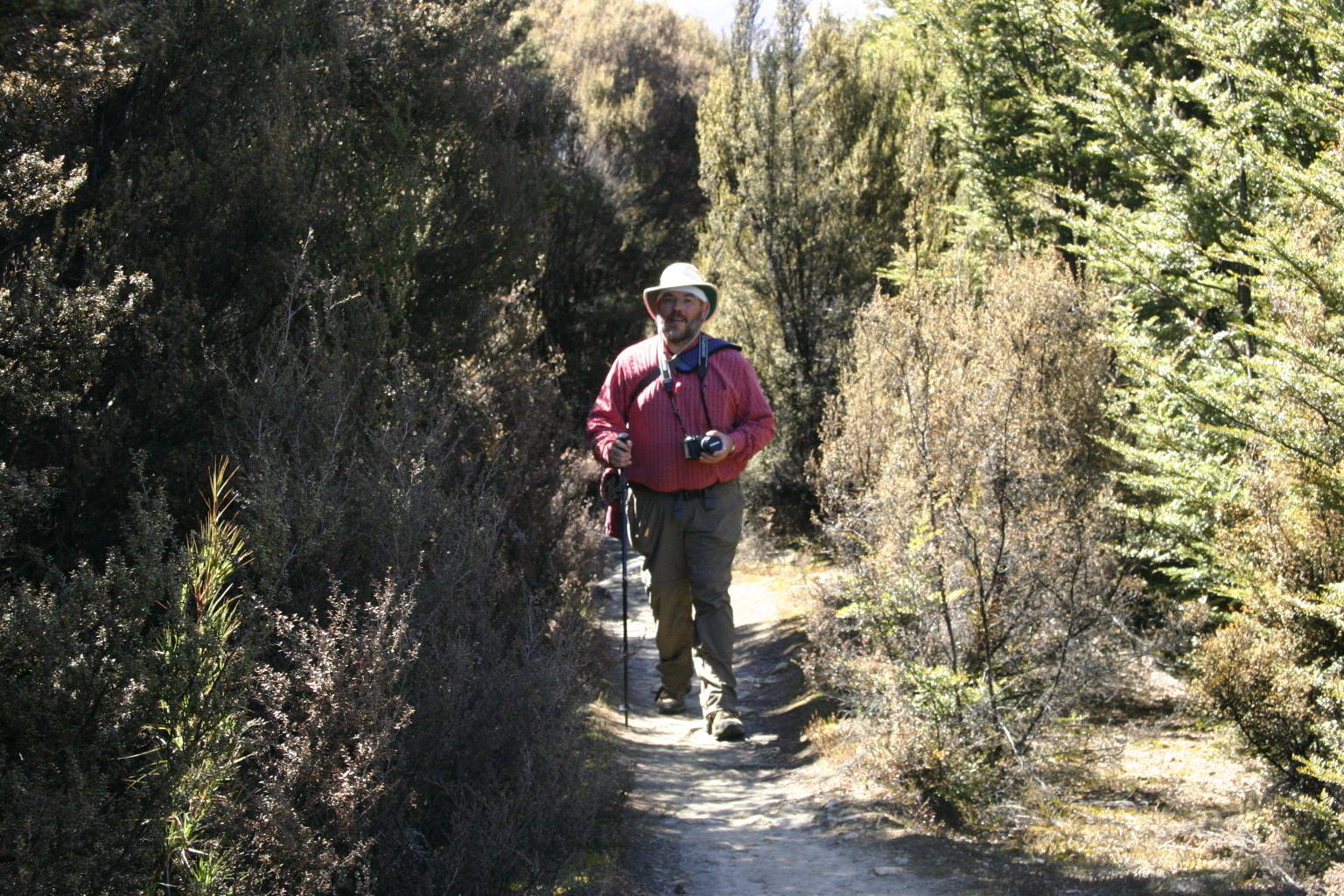
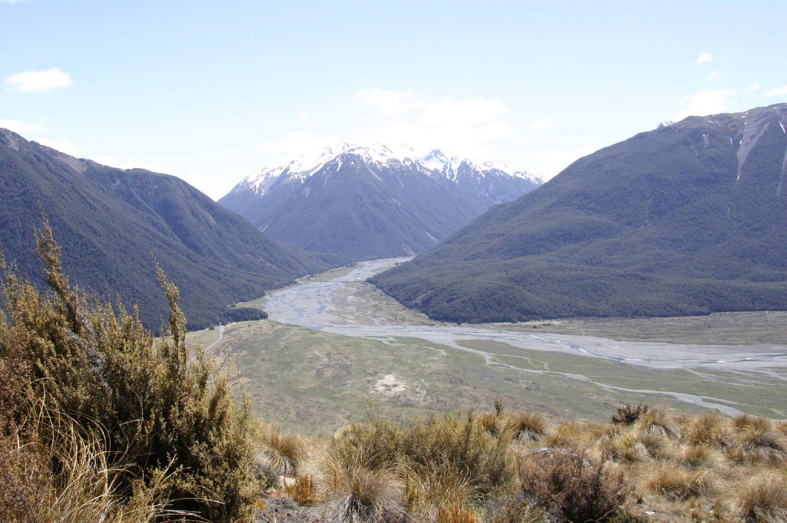
Our trail (“track” in New Zealand parlance) lay to the south of the Waimakariri, and the previous view of it, as well as the left one to the right here, were taken looking upstream, more or less to the West, while the righthand picture to the right was taken looking downstream and eastward. (Lefthand picture: big image, small; righthand picture: big image, small.) These two pictures may look as if they were taken from the same vantage point, but in fact there was 80 minutes between them; at the midpoint of that little hike, I took the picture below them of Mark pausing on the trail (big image, small).
|
|
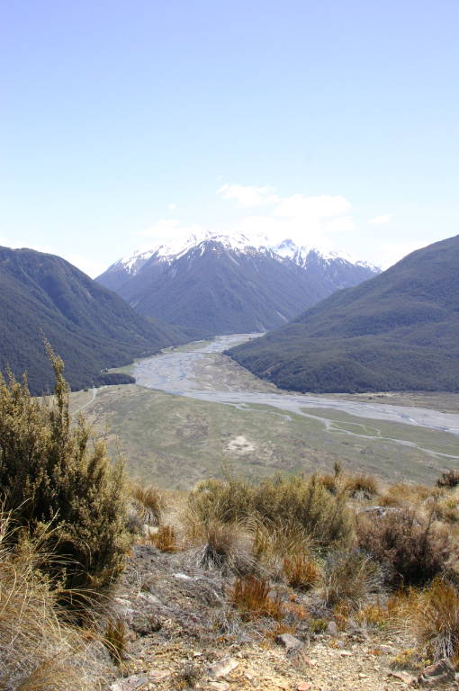
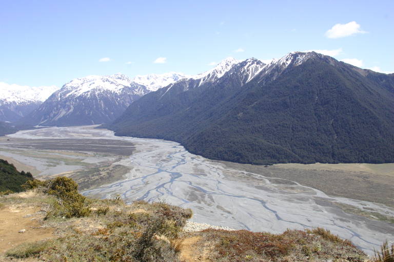
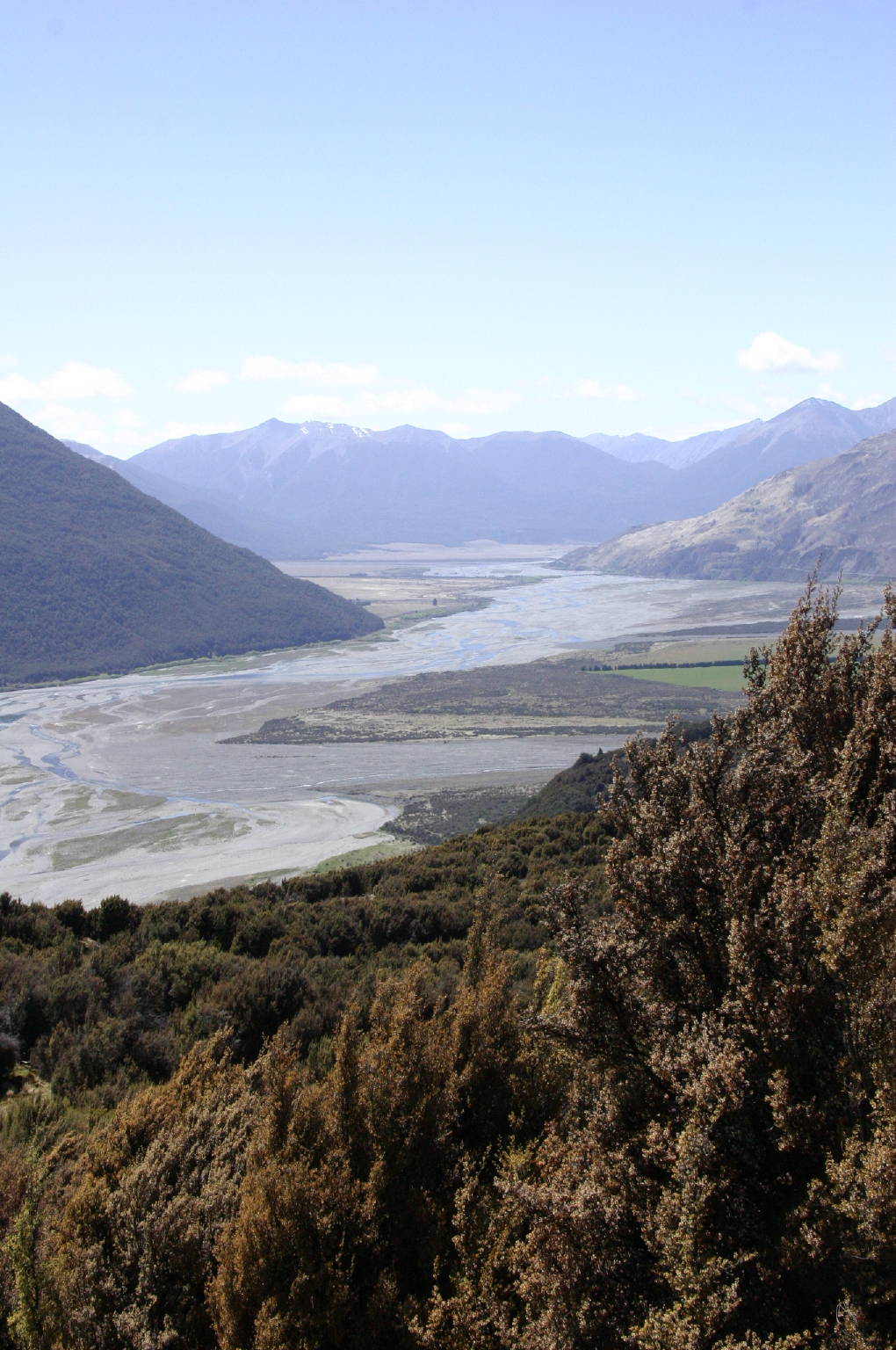
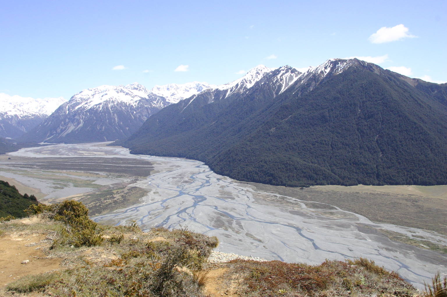
Around noon, we rested at a point with a good view of the river down below, and I took a lot of pictures, most of them looking just like all the others. There are five of them to the left.
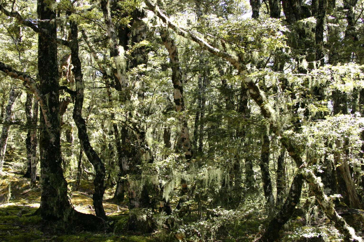
Then we started uphill again, through the beech forest with its dappled sunlight, many of the trees hung with a light and frothy lichen. (Top picture below and to the right: big image, small.) Finally we broke through into an open clearing with a small hut sporting a sign proclaiming it to be Bealey Top Hut. Poking our noses inside, we saw a supply of firewood, and four bunks that overnight hikers could use. Nicky also pointed out a “long-drop” outhouse a few dozen meters away, to make the accommodations complete.

|

|

|
|
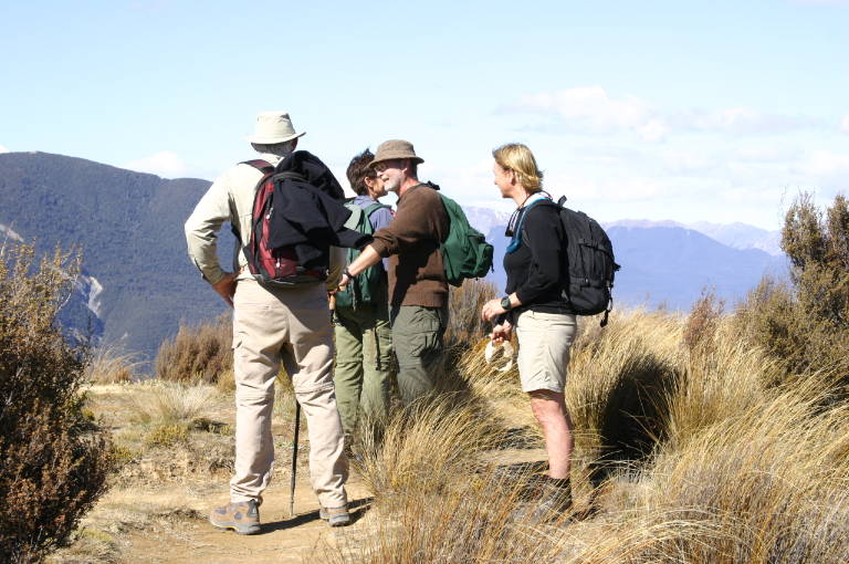
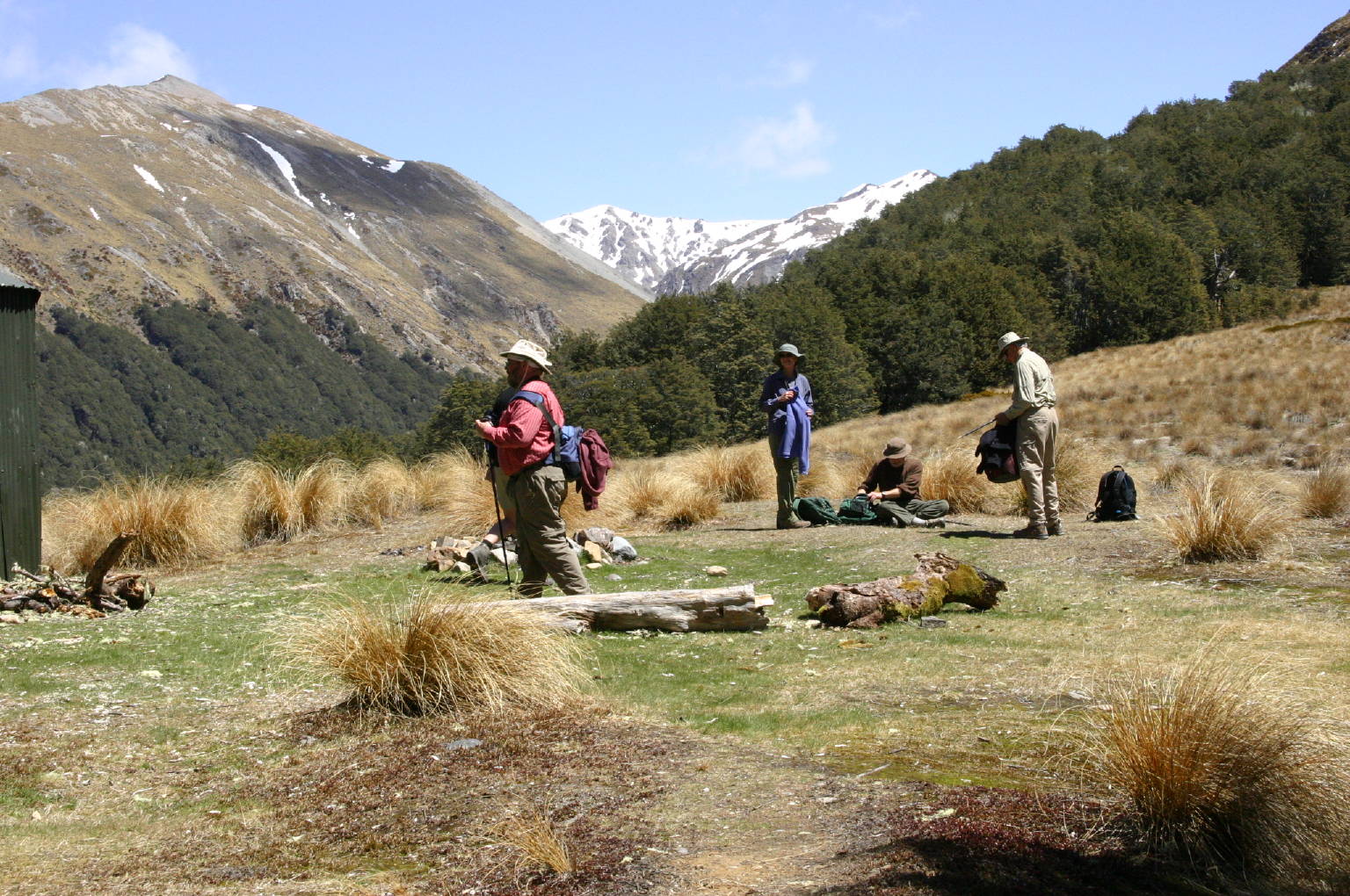
Here by the Hut we stopped to have the lunch that we had been carrying in our packs, and rested. That was quite a rise in altitude that we had just negotiated. After the rest and the meal, Nicky said that the last bit of climb was to go to the top of the spur—it would be to the right of (i.e. north of) the edge of the second picture in the column to the right (big image, small). So we duly set off into the forest just beyond Tom’s head in that shot. And climbed some more.
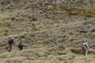
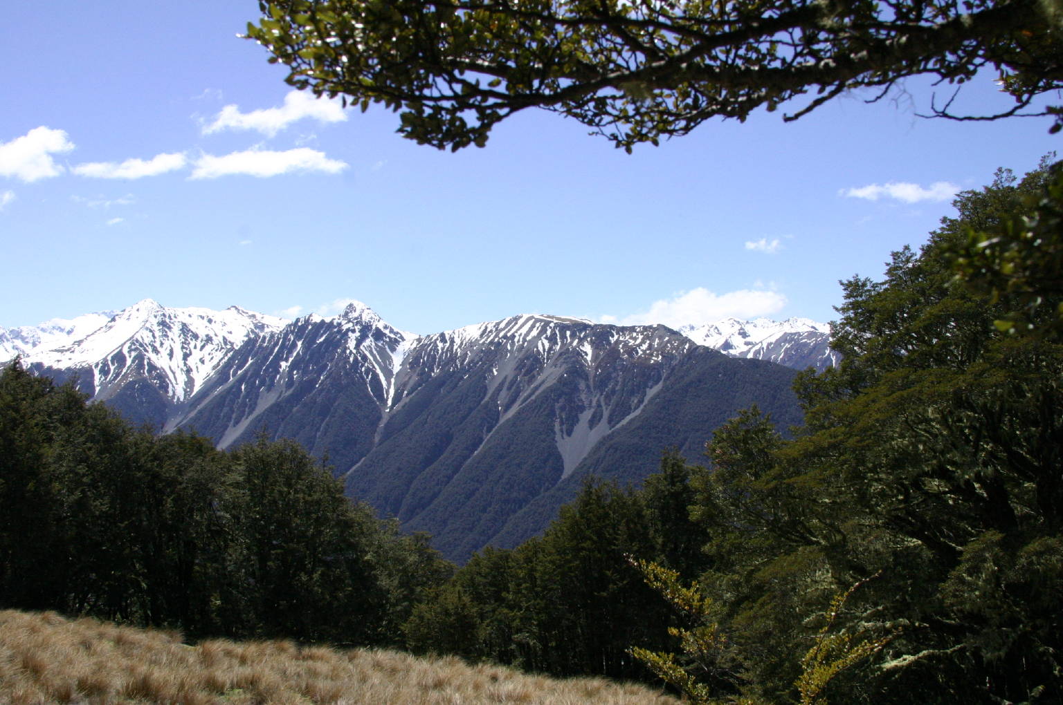
Finally, we got to a resting spot with a wonderful view (third picture to the right: big image, small), and Mark and I looked at each other and agreed after only a few syllables passed between us that we’d bail out at this point and rest for a while, and then head back to the Hut, to wait for the others’ return. Before we did start walking back, I took a picture of the four others climbing up the hill, and they're just little figures in the excerpt that is the lowermost of the four pictures to the right.
We made our way back towards the Hut with some relief—in the picture to the left, Mark pauses on the way back (big image, small). And you can see the Hut just above his right shoulder, there in the distance.
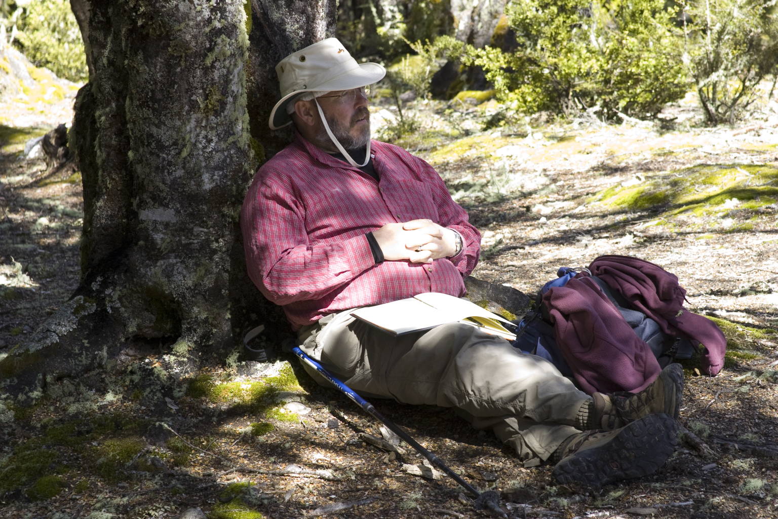
We sat in the shade of some trees at border of the clearing, and wrote up our Journals—you can see Mark resting from that in the lefthand picture of the top row below. Forty minutes later, we were well on our way back down, as the next three pictures show: the middle and right in the top row and the left picture in lower row. The grass is Snow Tussock (Chionochloa), and when we weren’t walking through forest, we were surrounded by Tussock. It looks dead in the photographs, but if you looked closely, you could see green in the long blades.
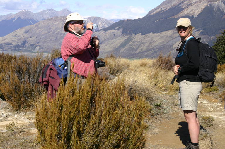
In the last two pictures, we’ve stopped for a drink and a little rest. The final walk back was through the forest, and we noticed distance markers, telling how far from the trailhead we were, and I confess that I was watching for these to see how far it would be before we would be comfortably resting in the bus. After a short drive back to the Lodge for a nice supper, we were ready for the next day’s adventure.
This was our toughest hike of the trip, I think, and the day that Tom, who may be a few years older than I am, but who is far fitter, asked Nicky whether she had ever been charged with elder abuse. We all laughed.

|
|
|
| Big image, small | Big image, small | Big image, small |

|
|
|
| Big image, small | Big image, small | Big image, small |
Next day’s pictures, second half of pictures from the preceding day. Return to the central New Zealand page; to the central travel page; to my home page.
|


