


|
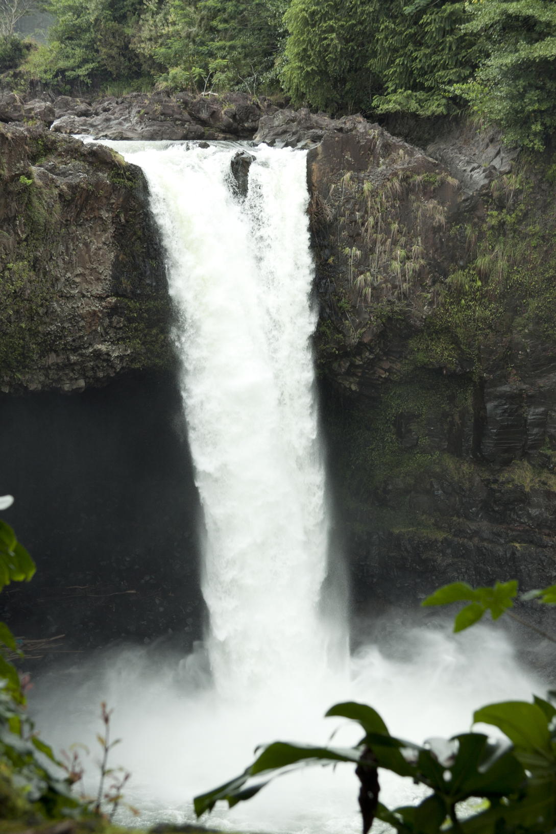
Rainbow Falls |
Tuesday, 6 March, a tour to Volcano Country
We got picked up fairly early by the van of Hawaii Forest and Trail; our guide was Eugene Canepa, an amusingly chatty guy who was, as you’d expect, full of nature lore and Hawai‘ian history.
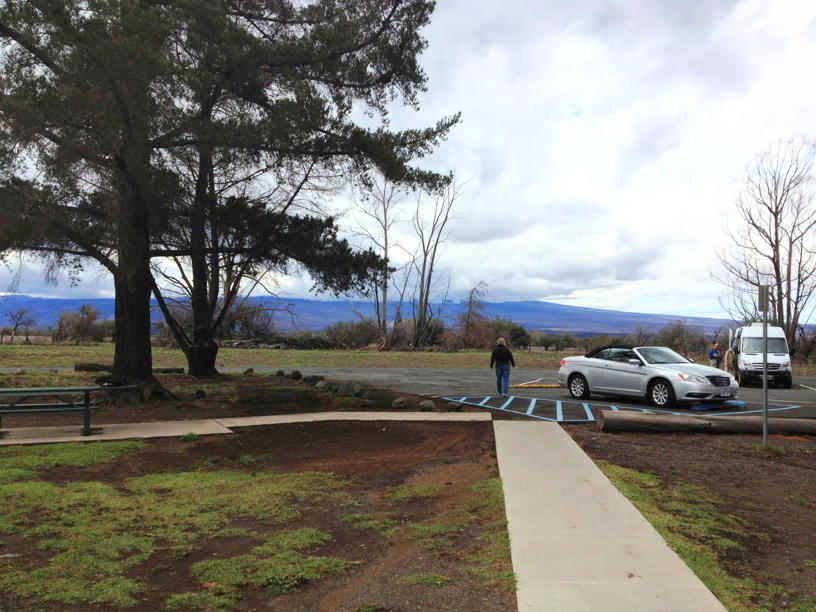
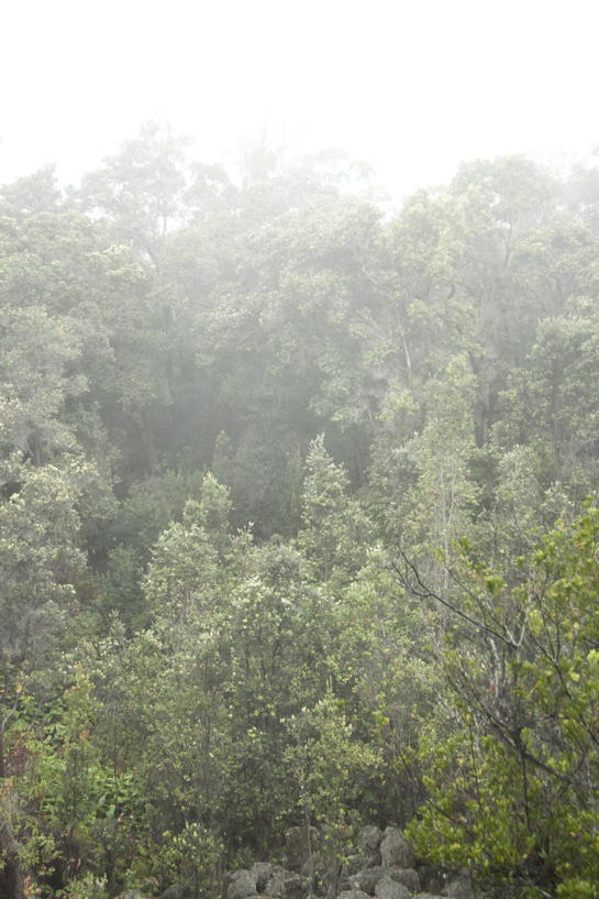
Our first stop was at the Mauna Kea State Park, almost in the very geographic centerpoint of the island. It was just a rest stop, and not very scenic, especially in the very dark gray weather that we were passing through. You can see a bigger version of the image on the left if you want.
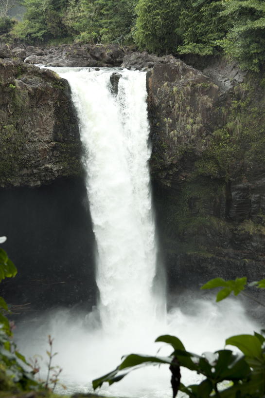

We continued on to Hilo, on the rainy side of the Big Island, and stopped off at Rainbow Falls, which you can see not only in the still to the right but in a big version, else also a smaller.
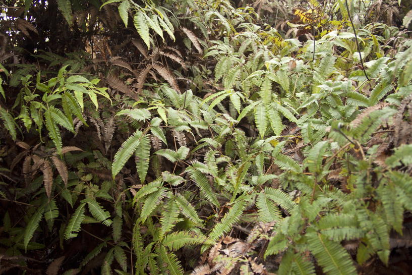
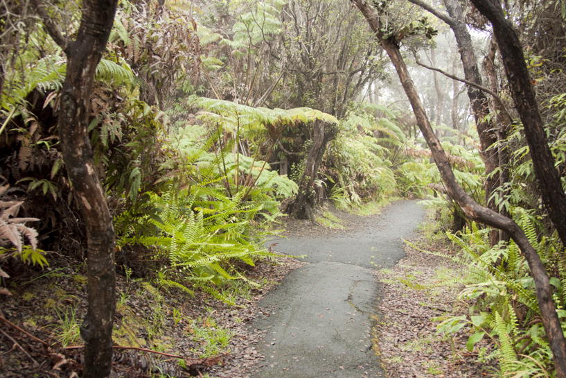
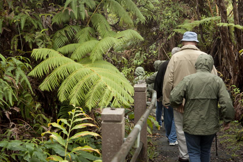
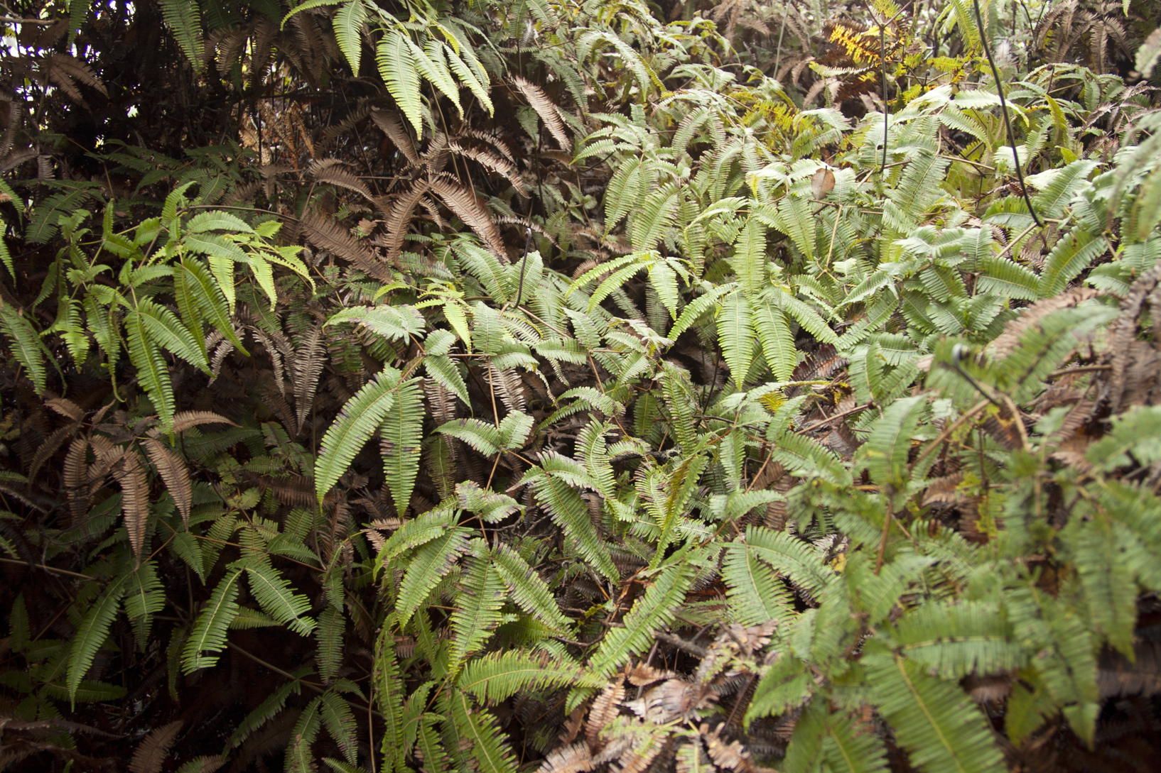
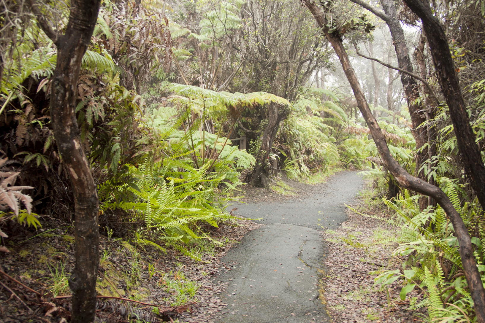
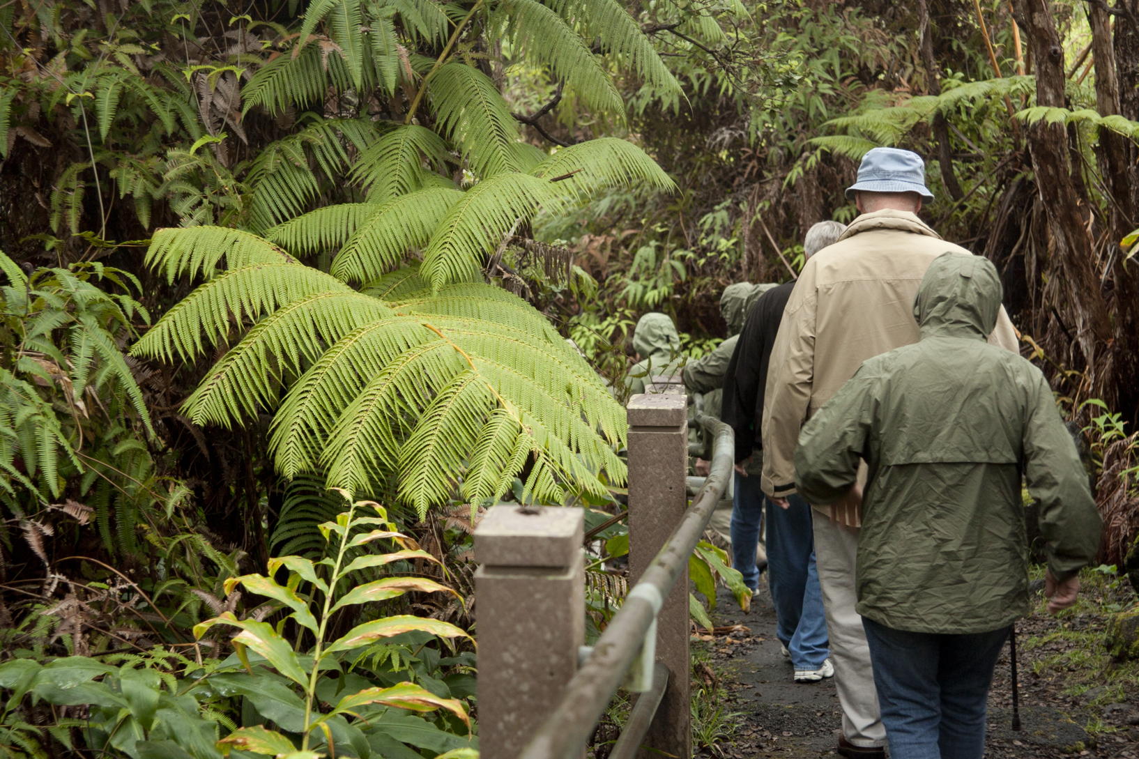
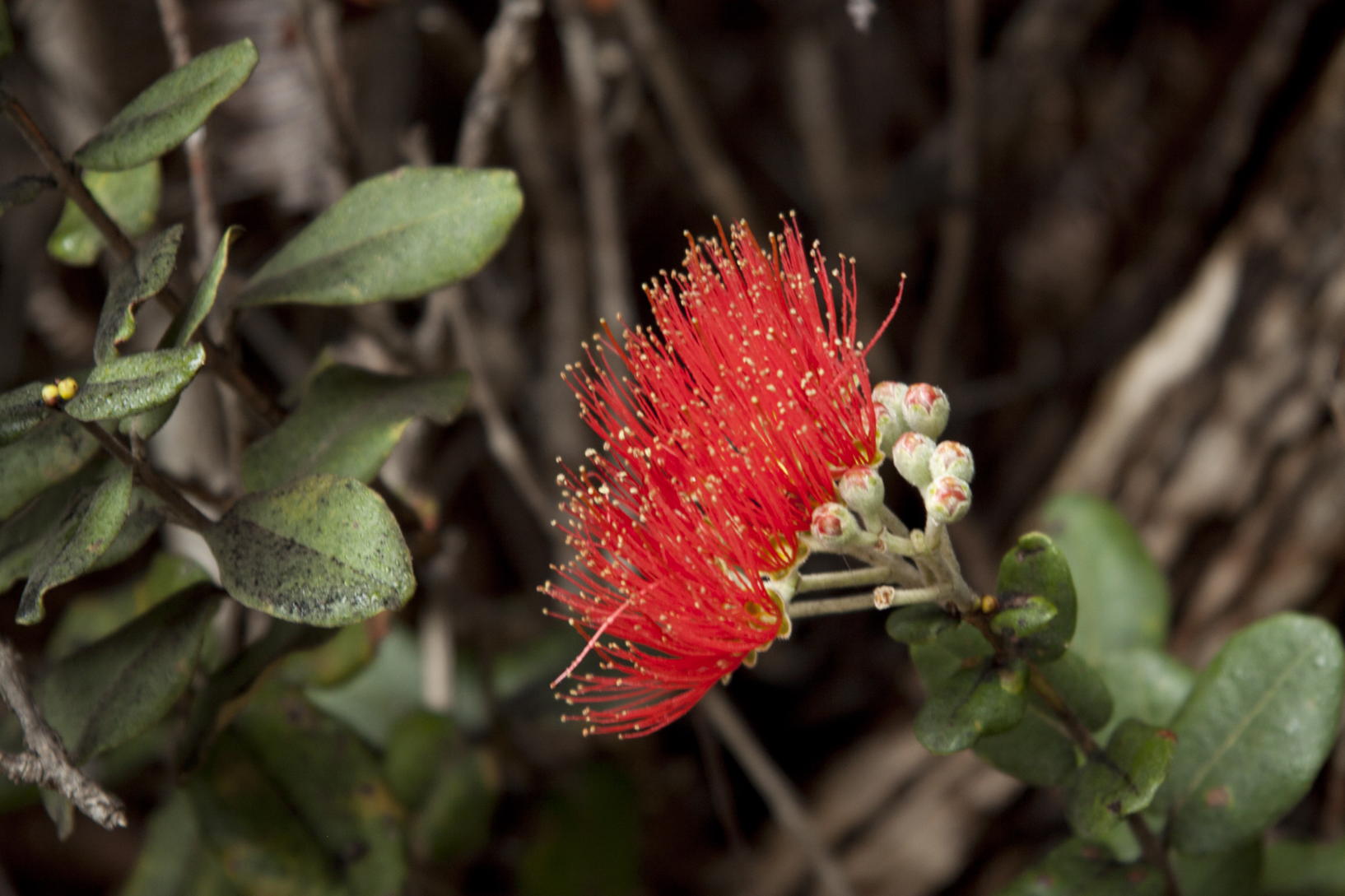
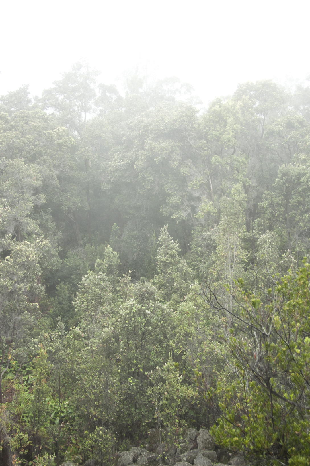
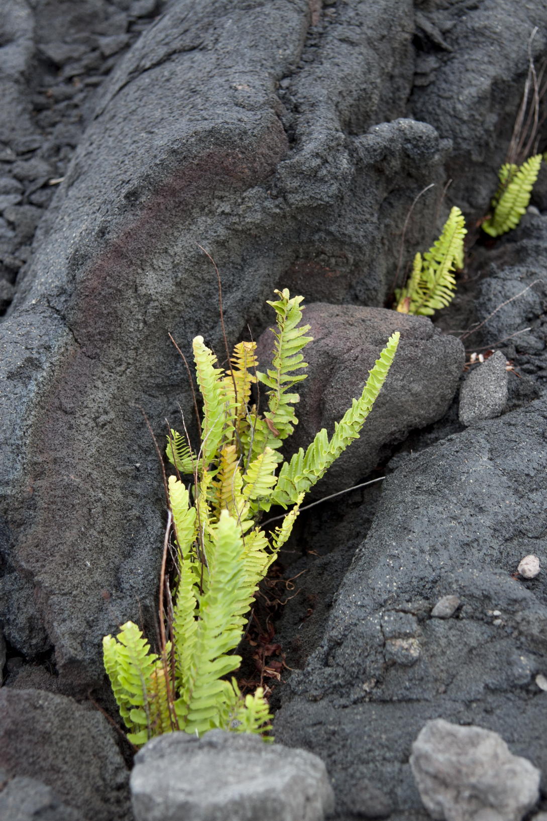
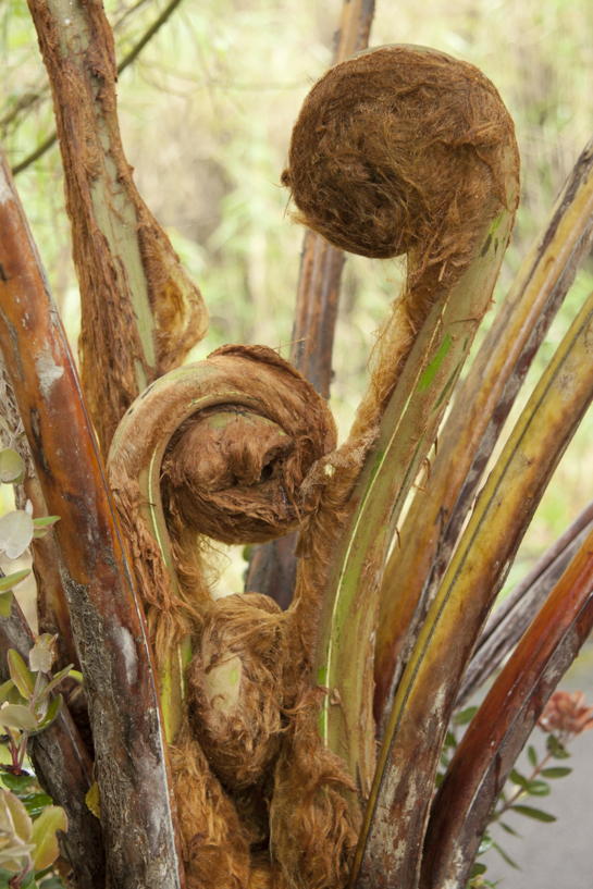
Later, we walked in the rain forest among ferns, ferns, ferns, as you can see in three of the images to the left. The one non-fern picture in that block is of a lehua flower, the blossom of the ‘Ōhi‘a lehua tree, Metrosideros polymorpha, endemic to the Hawai‘ian islands
Our real purpose for the day, of course, was not lovely vegetation, but volcanic scenery and if possible, volcanic activity.


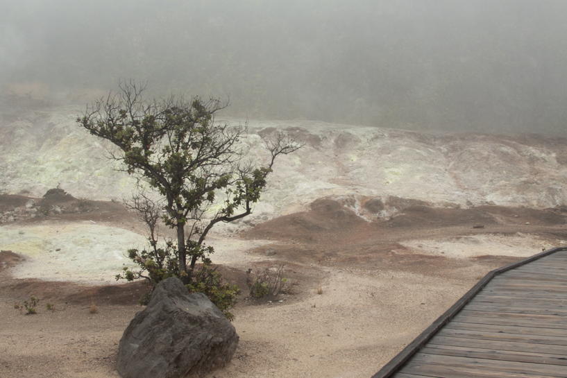
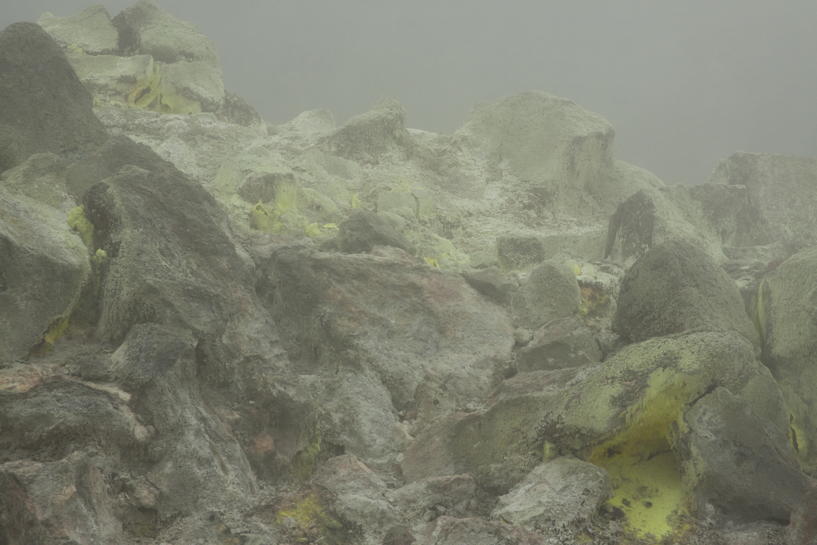
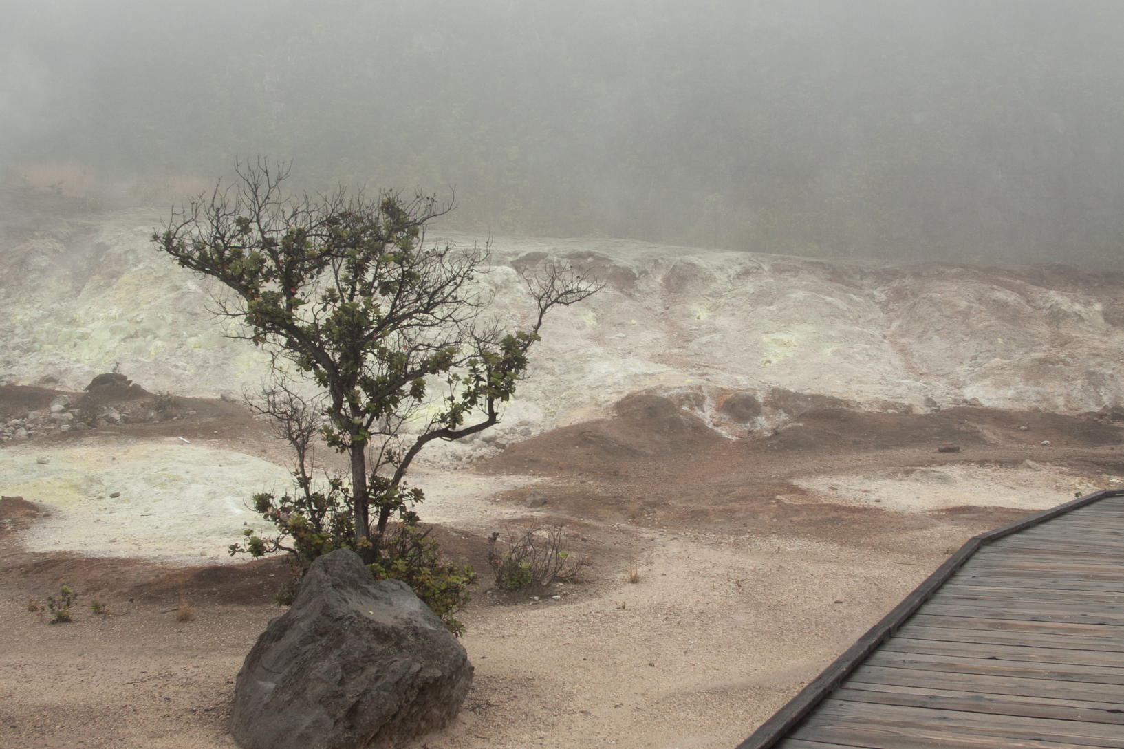
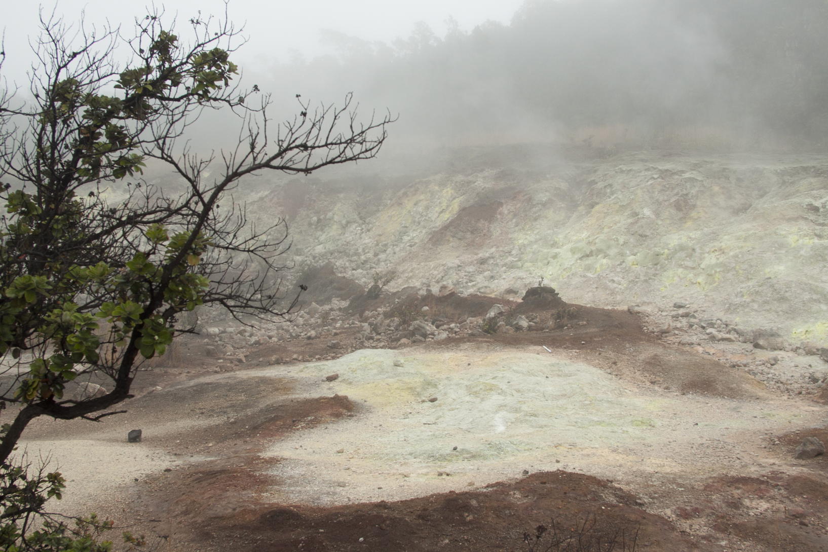
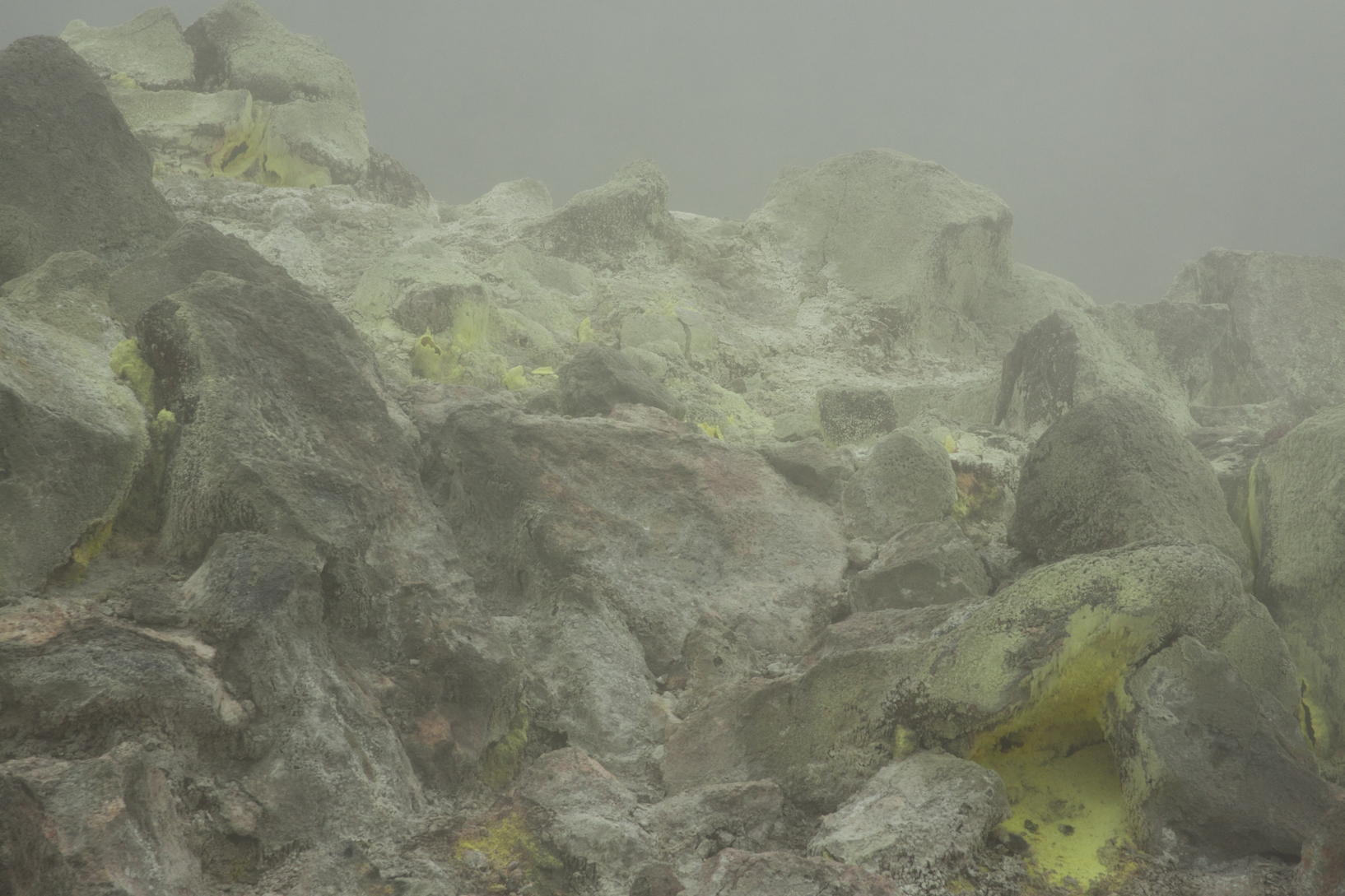
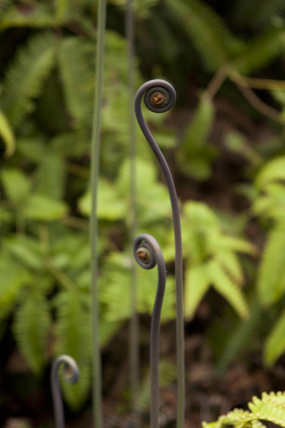
One of our first volcanic stops was at the Jaggar Museum, associated with the Hawaiian Volcano Observatory, lots of interesting displays. I think it was there that I took the upper picture in the block to the right, right-hand column. And then it was on (or maybe back) to the Visitor Center, not far from which were the Sulfur Banks, an area where volcanic gases deposit elemental sulfur on the rocks and soil. We saw similar phenomena in Iceland, but the sulfur here was far thicker and more noticeable, as was the smell of SO2. You see three images of the hellish landscape in the block to the right, left column. Some time around then, I got the bottom right shot, of the developing fern. Mark tells me that it’s the Uluhe and Wikipedia says it’s very widely distributed not only in Polynesia but throughout the Old World tropics.
We drove along the Chain of Craters Road, eventually to the end, but there were some attractions along the way. Most surprisingly, we saw a few Nēnē, the only goose remaining in the Hawai‘ian Islands. It’s apparently descended from Canada geese that strayed across the ocean half a million years ago. I don’t have any pictures, but Mark does on his page.

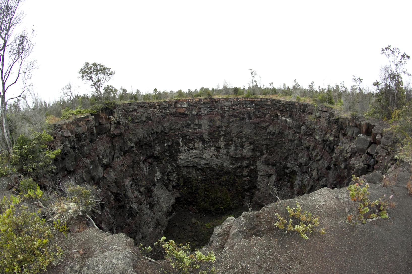
Something entirely different was the “Devil’s Throat”, a pit crater that was just a short walk into the brush from the road. It’s the result of the collapse of a huge void in the lava, and apparently it was even more impressive when it was first discovered (its first published mention was just over a hundred years ago). Then the mouth was only 15m across, but now it’s about 50m. It was very hard to get a picture that showed the size, the depth, and the unexpectedness of the thing: what you see to the left is the best I could do. You’re just walking along in the scrubby brush, and then, suddenly, there it is. (Big image, small.)

|

|
|
|
|

|
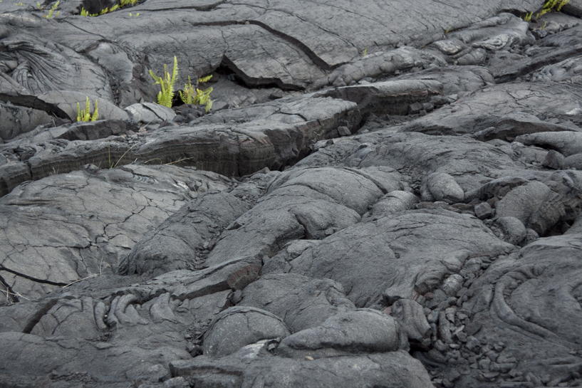
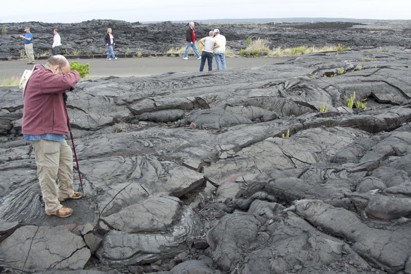
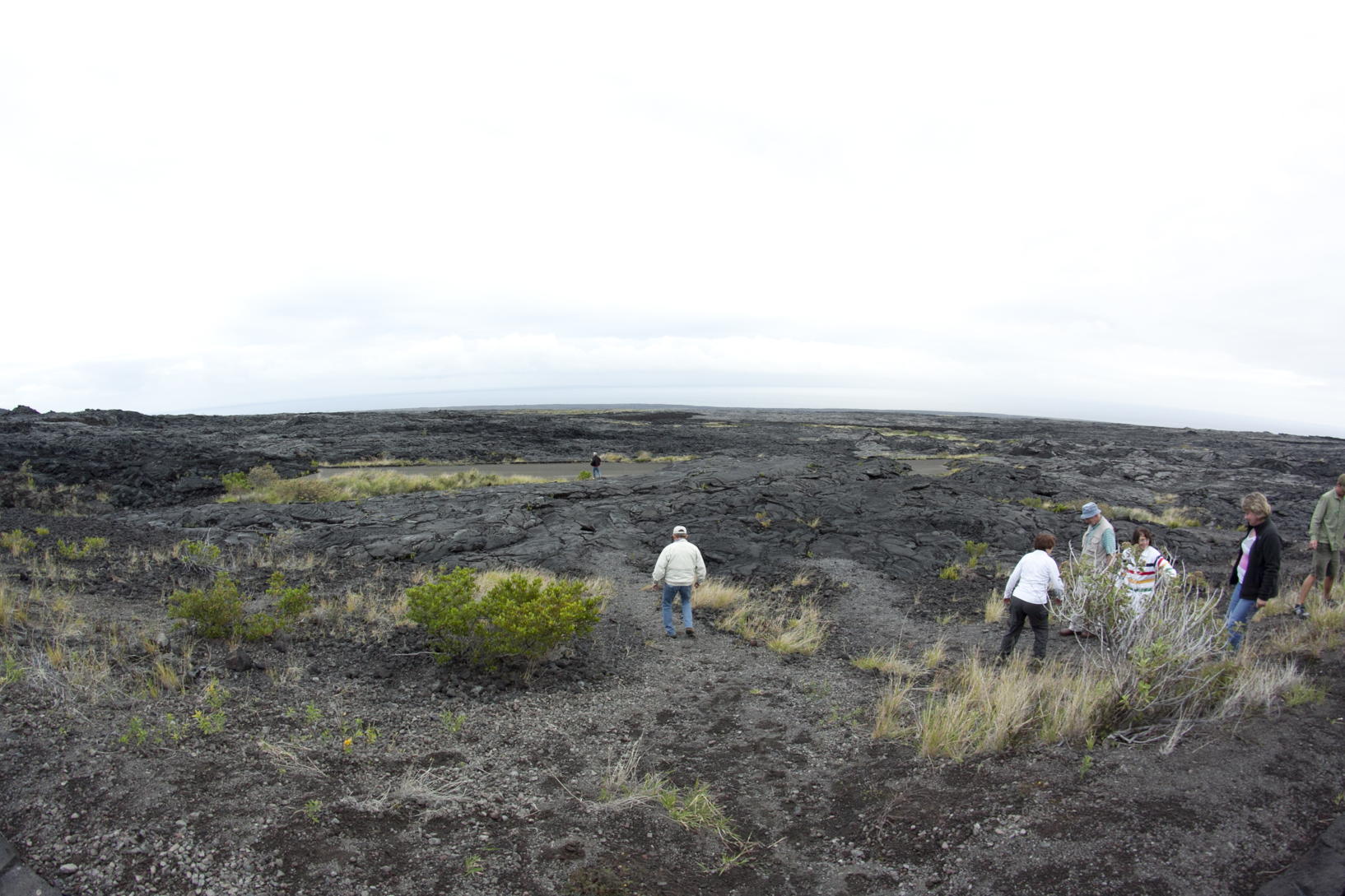
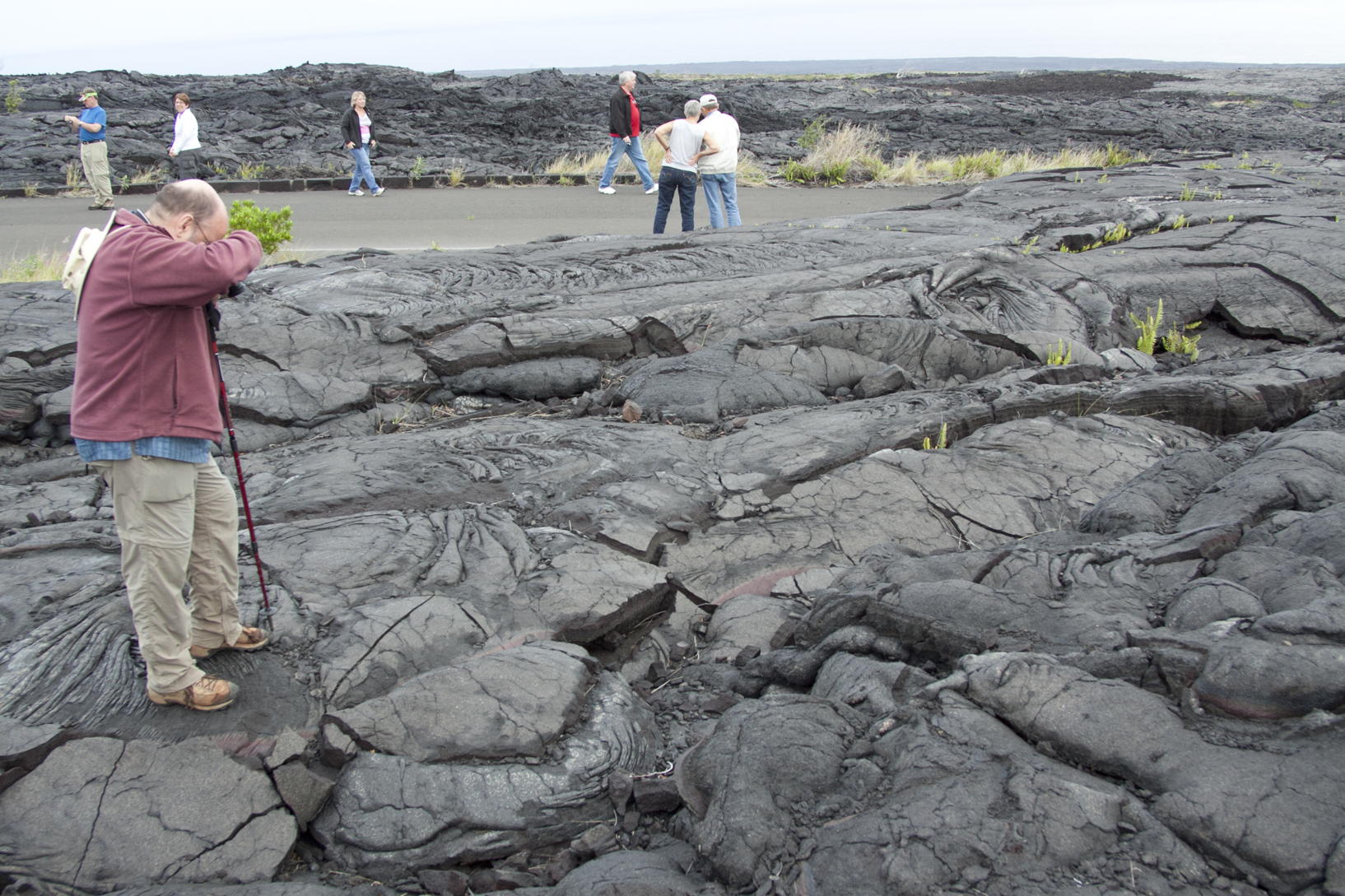
We continued along the Chain of Craters Road, coming to a section where the lava flow was much more recent. The pictures are in the block to the right, and the top left picture (big image, small) shows the road itself and its surroundings. But the reason we stopped here and climbed down just a little way, as you see to the right of that (big image, small), is that there’s a patch of the old highway that was just partially covered in the lava when it flowed in, a few decades ago.

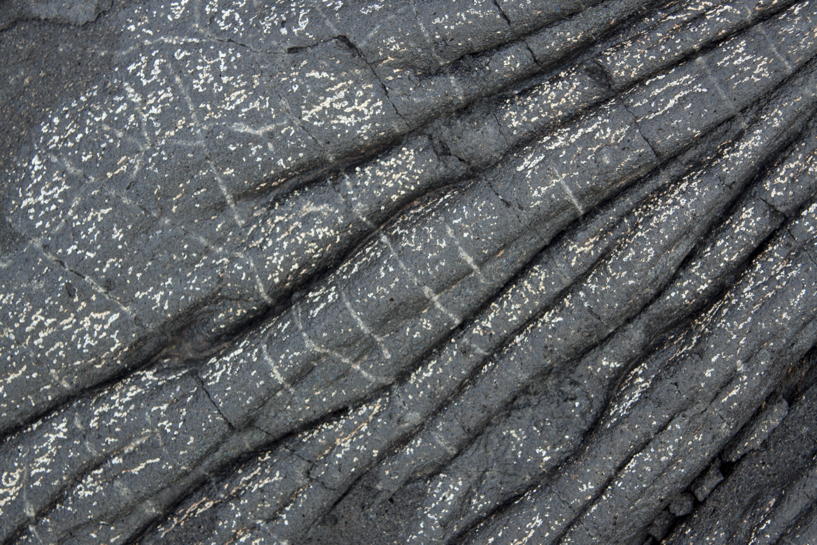
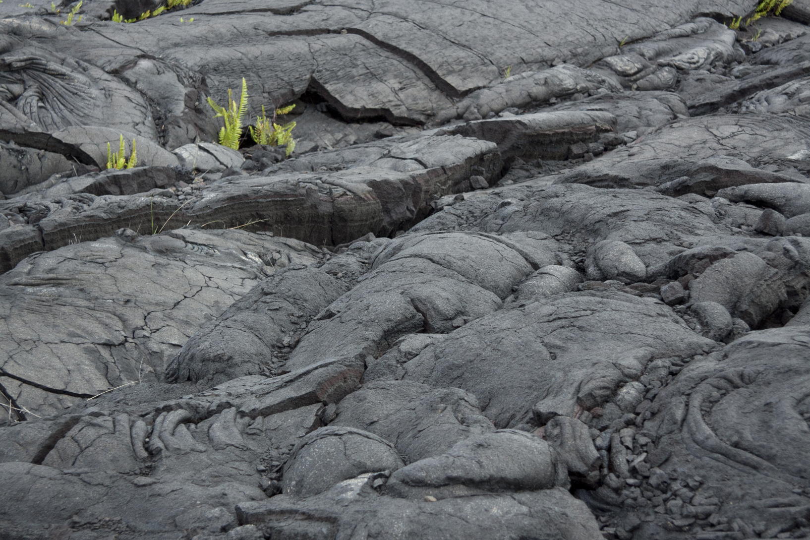
In the second row to the left, you see two shots of what I think of as classic pāhoehoe lava form. This is the result of relatively low-viscosity lava flowing beneath a harder crust, and solidifying in place. If you look back to my Iceland pages, you’ll see that it’s this kind of lava that I used for the background pattern there. But in Iceland, we mostly saw the other main kind of land-originating lava, which comes out at a lower temperature, and leaves tumbled blocks of rough-edged stone. That’s called ʻaʻā, and there was more than enough of it in Hawai‘i as well. Middle row, left: big image, small; right: big image, small. Notice that in the background of the right picture, you see people standing on the old original highway.
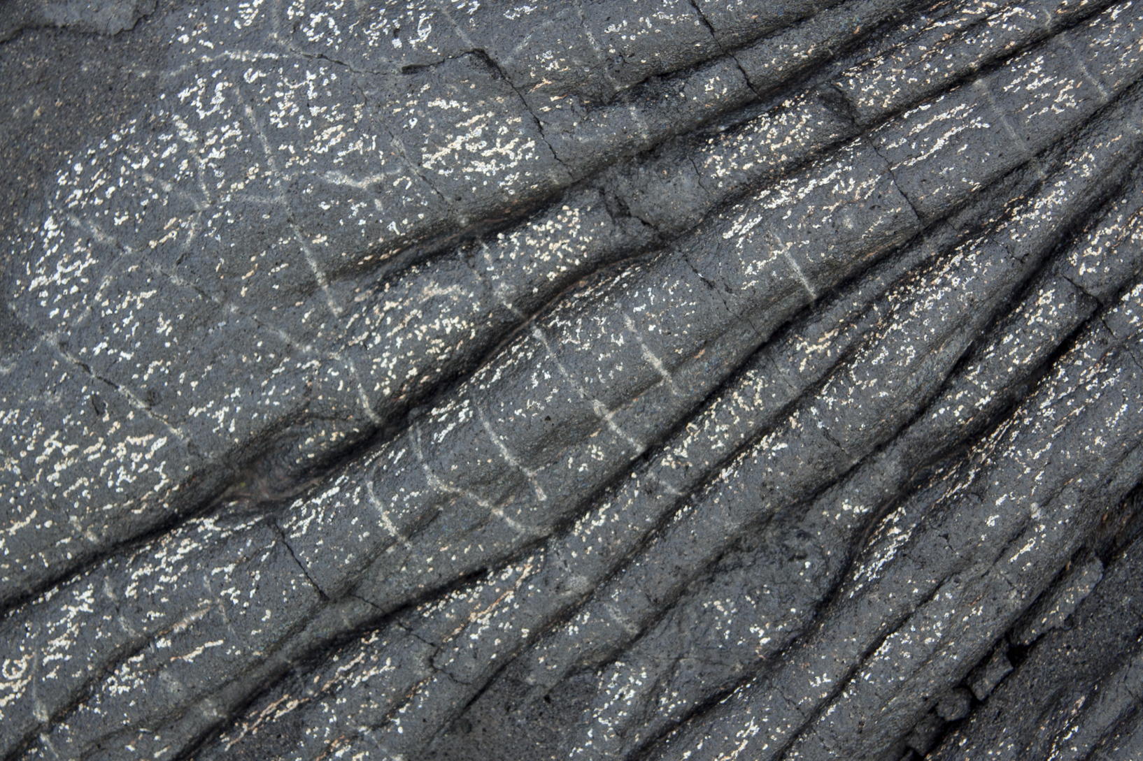
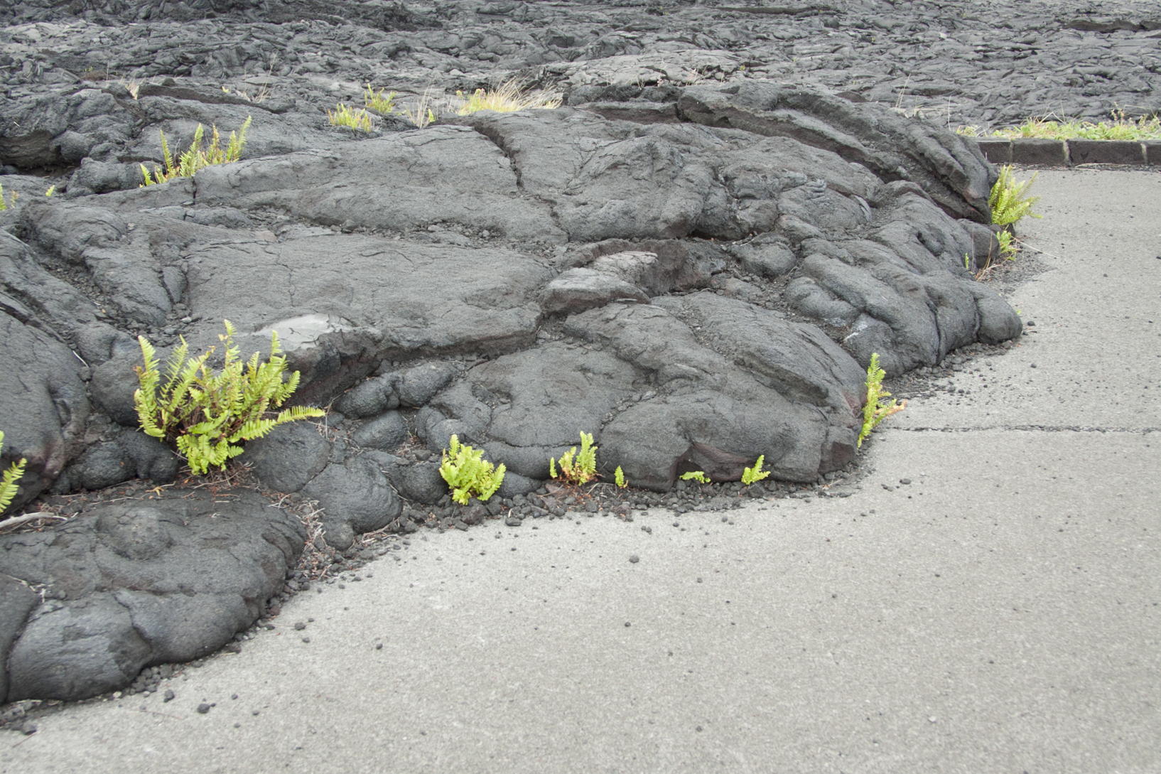
In the third row to the left, another close-up on on the left (big image, small), and on the right, you see how the lava lost all steam before completely overwhelming the asphalt (big image, small). I like the way that the plants are struggling up from out of the cracks in the lava, and I took the shot over on the left especially to show that same resilience (big image, small).
That was the end of photography for the day, pretty much: I tried to get satisfactory shots of the sea going through and around a natural bridge, the Holei Sea Arch at the end of the Road, and the attempt was a complete failure that I won’t burden the reader with. Mark does have a pretty good picture on his page, though. It was getting very dark by the time we got there.
it belongs up around the picture of the Uluhe, since
it was taken around the same time. (Big image, small.)
But that wasn’t the end of the day. We did drive as far as we could on the Chain of Craters Road, and we did take in the above-mentioned natural arch, but beyond that we waited for dark in the hope that we could see the glow from the lava flowing down from Kilauea towards the ocean. It wasn’t going so far as to flow into the water; Eugene told us that there was a possibility that it could go that far in a few weeks.
So our plan was to wait for complete dark, and partake of a picnic supper that Eugene had brought along with us. We ate this on park tables that were arrayed out there, covered with tablecloths that Eugene had also brought, and illuminated by lanterns. It was very festive.
|
|
|
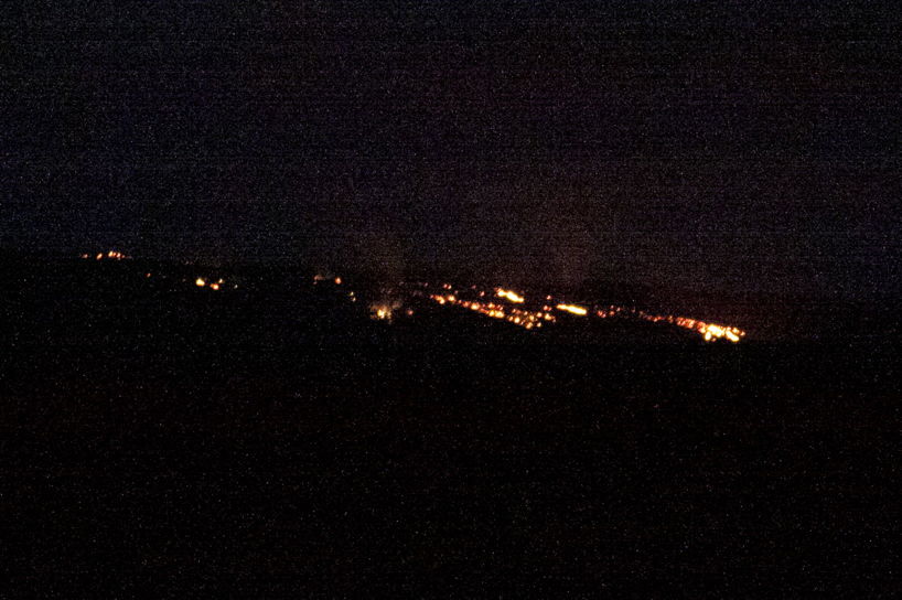
Finally it was plenty dark, and I cursed myself that I had brought with me neither my tripod nor my longest-focus lens. I did manage to get some shots of the lava, all rather inferior, because I pushed the “film speed” up to ISO12800, and the picture is coarse and filled with photographic snow. It’s the upper one in the block to the right (bigger image only).
And there was yet one more sight to see: on the drive home, Eugene asked us whether we were interested in a short detour to pass by the Visitor Center, in case the fog had lifted, and we might be able to see the glow from the boiling lava in the Halema‘uma‘u Crater of Kīlauea. Indeed the air was enough clearer that we could see the glow, and the fumes rising from the molten rock. I took out my iPhone, and pulled a few shots, but they were no more successful than the pictures of the flowing lava. One of my shots of Halema‘uma‘u is the lower one to the right (larger image).
Then at last we were on our way back to the resorts, and Mark and I slept very soundly, dreaming, I’m sure, of what the next day’s adventure would be.