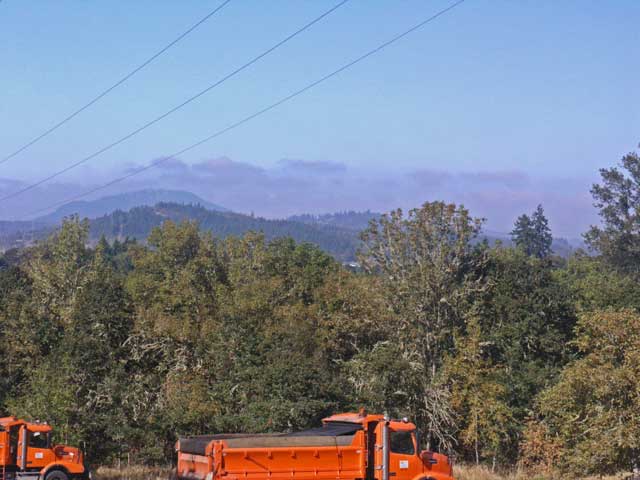
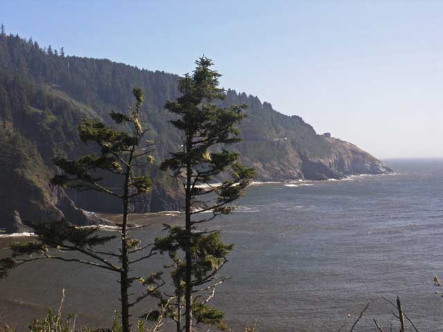
Fog hanging over the coastal range to the west.
From this point through the remainder of this travelogue, I'm relying on my memory as I stopped writing in my journal at the end of the previous page. I suspect this cessation has to do the the lack of readily accessible bar stools and alcohol, as I did a lot of my writing at various bars just before dinner (as well as just before breakfast on occasion).
We left Seattle in the morning after breakfast. After sorting out the parking fees at the hotel, we navigated our way through the morning rush hour to I-5 North to the Canadian border. Passing immigration, the highway (now Canadian Hwy 99) took us directly to Vancouver, reaching the Sylvia Hotel at lunchtime.
Another change in my habits, coinciding with neglect of my journal, was a corresponding neglect of my camera. Except for our time in Oregon, I didn't take any pictures in Vancouver or anywhere else on our journey home.
The Sylvia Hotel is at the southern end of Stanley Park which is reported to be exceptionally beautiful. We walked along the shore in the park, but didn't venture much inland to explore. We also walked through the local business district, which had an eclectic mixture of businesses, and is the center of Vancouver's lesbian and gay community.
That evening, we met up with Rustum Choksi, a Brown graduate now teaching at Simon Fraser University. We went to dinner with Rustum and his partner in a restaurant in the park that was within walking distance of the hotel and spent the evening in pleasant conversation.
Leaving relatively early the next day, we passed the border crossing with ease - we brought our passports for this purpose and we were waved through almost immediately. Our path took us back through Seattle at the tail end of morning rush hour, and by Tacoma and Olympia. We continued south on I-5 to Eugene OR where we got off (and got briefly lost) on our way the home of Theodore and Laramie Palmer. (I keep wanting to call him Theodore Parker - one of the bright lights of Unitarian-Universalism and noted abolitionist.) We arrived in the late afternoon and spent the evening visiting. Theodore and Jonathan shared an office in graduate school and had maintained a Christmas card correspondence, occasionally running into each other at math conferences.
The next day Theodore and Laramie took us to the Mount Pisgah Arboretum that Theodore was instrumental in establishing, and is currently president. His father had been involved with the Arnold Arboretum in Boston, and his interest in arboretums (arboreta?) comes from the family tradition. Jonathan was especially interested in visiting the Arboretum, and we planned to stay a day and two nights in Eugene to take a look at Theodore's handiwork.
The Arboretum is east of the city on the coastal branch of the Willamette River. Theodore noted during his guided tour of the facility that most of his financial supporters wanted to focus on native flora. There wasn't much interest in bringing in specimens from other places for display. As a result, the arboretum has a natural feel to it - the area is generally undeveloped, outside of the offices and pavilion buildings, the only sign of human activity is the paths through the fields and woods, with an occasional signs and displays.
Fog hanging over the coastal range to the west.
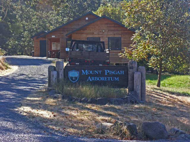
Sign and offices of the Mount Pisgah Arboretum.
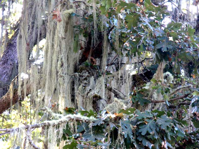
Fair amount of moss here also.
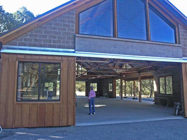
The newly constructed pavillion - it's frequently used for weddings and other functions.
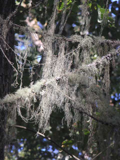
More moss.
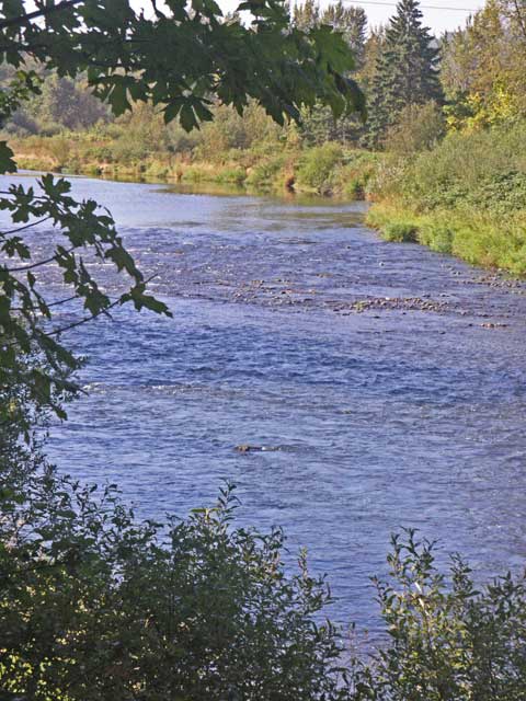
The coastal branch of the Willamette River bounds the Arboretum on one side.
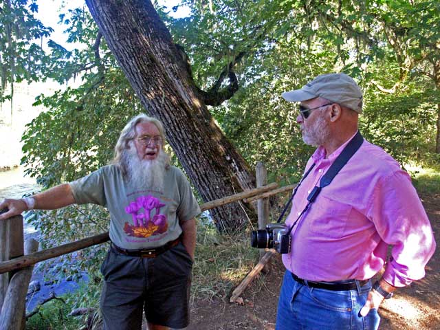
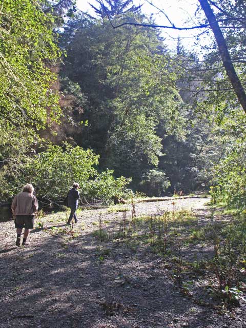
Theodore and Jonathan.
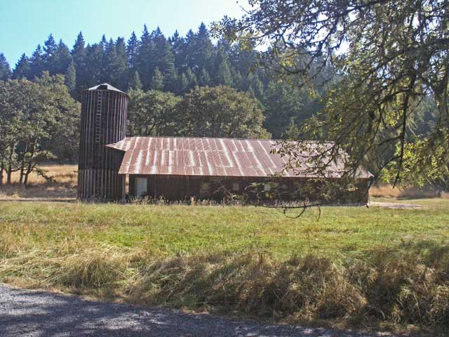
Barn and silo house workshops for the facility.
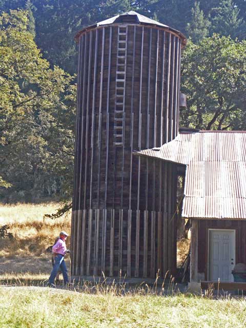
Jonathan (with Theodore obscured behind) approaching the barn.
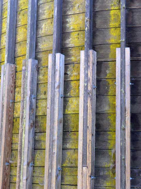
The silo had a lichen or moss growing on the side.
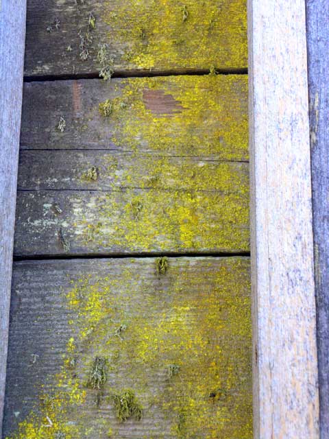
Close up of the stuff.
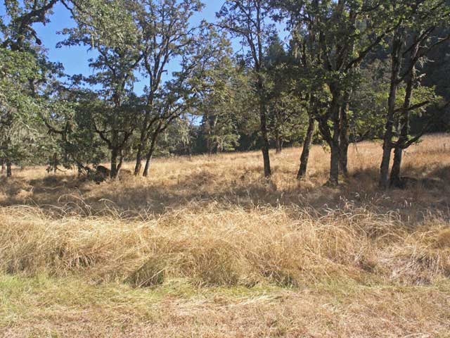
Areas maintained as an oak savannah, characteristic of the area before settlement.
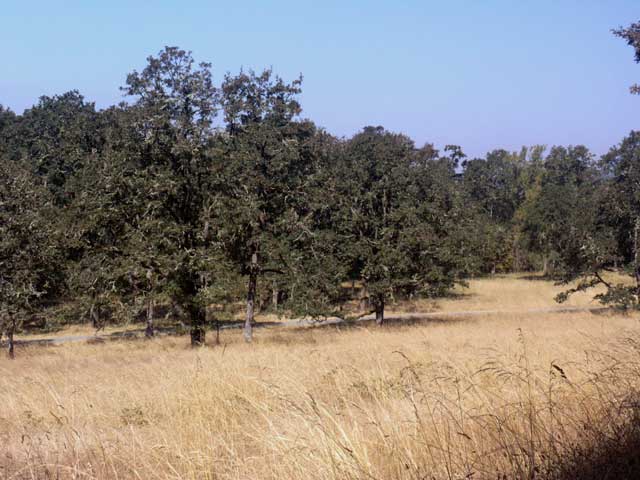
More savannah.
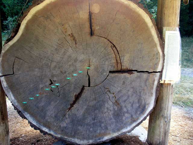
A cross section from one of the trees that used to stand in the Arboretum (a Douglas-fir I think).
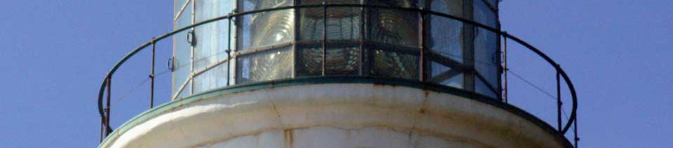
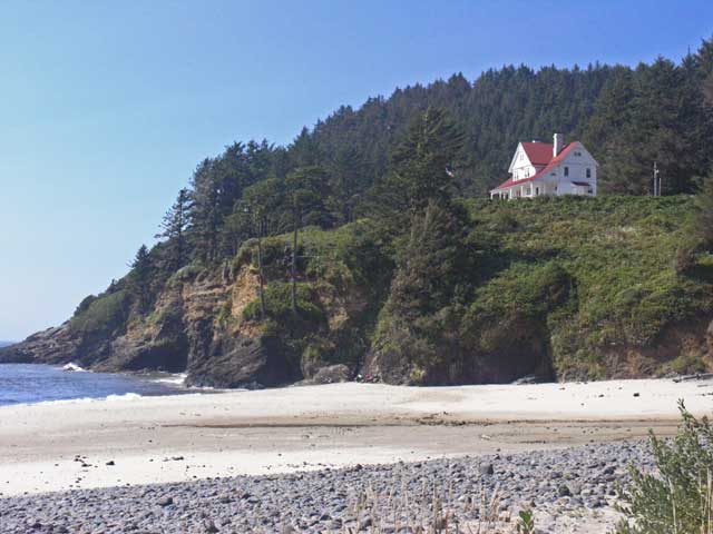
After lunch, the Palmers drove us over to the coast. The road, state route 126, twisted and turned as it rose through the coastal range and then descended along the Umpqua river. The road then followed the river to the coast at the city of Florence. There we turned northward on US 101 and drove along the dunes to a botanical preserve in a wetland that was the home to a large variety of pitcher plant, Darlingtonia californica. The specimens shown below were about 2 feet tall with the bulbous head being 2 - 3 inches in diameter. From there we continued northward, where the dunes gave way to rocky cliffs and bluffs. We stopped at a very windy overlook where sea lions lounged on the rocks below, and at the Heceta Head Lighthouse perched on a bluff to the north. We drove up to the lighthouse, wandering along the beach, and inland along the creek there. We had dinner in Florence at a funky little restaurant situated in a converted railroad depot (the building had been relocated to the site on the riverfront from its original location beside the train tracks).
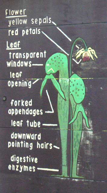
From one of the signs at the preserve, a figure describing the parts of the plant.
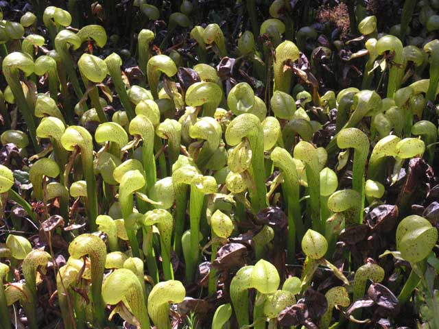
There were a lot of them.
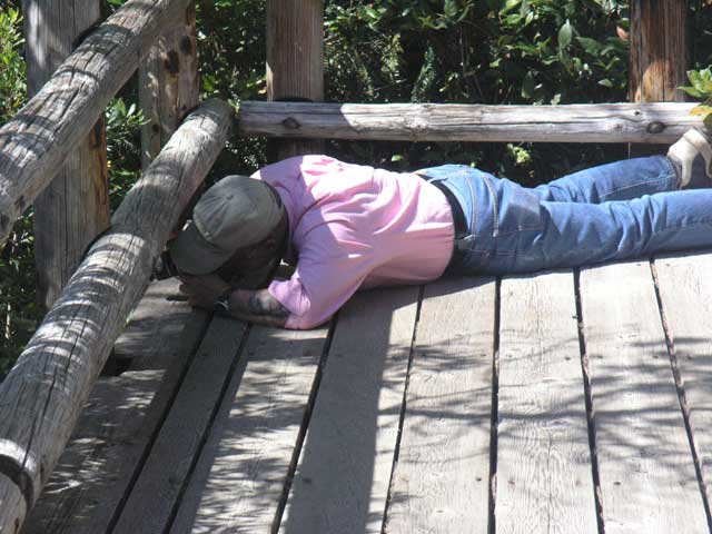
Jonathan gets a low shot.
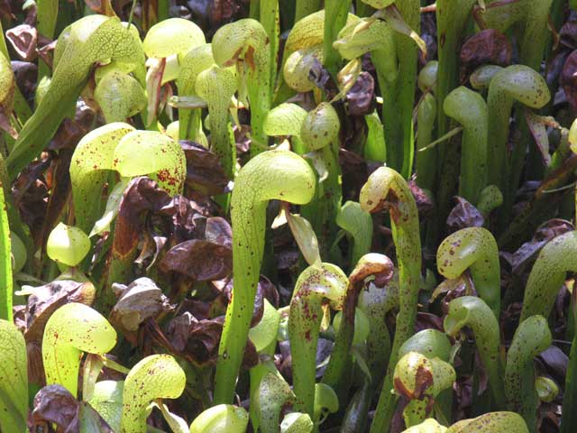
Even more. These plants were about two feet tall.
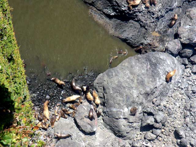
On the coast, sea lions basking in the sun at the base of the cliff.
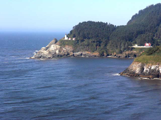
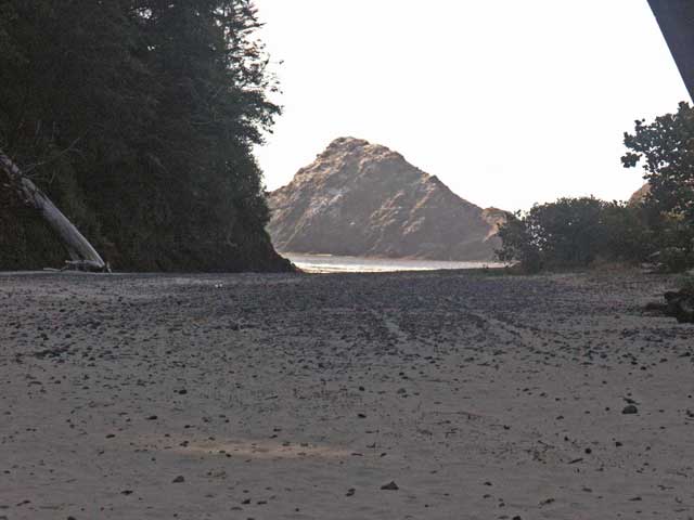
Looking northward from the overlook at Sea Lion Caves (we didn't go in).
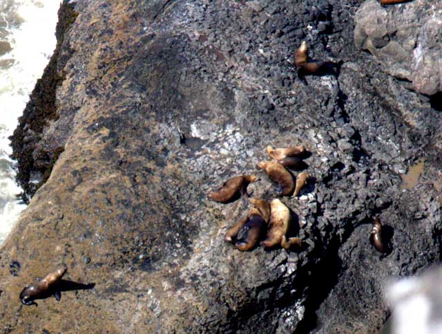
More sea lions. They look like brown slugs in these distance shots.
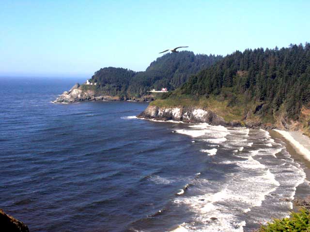
Another shot northward - the lighthouse is the Heceta Head light house.
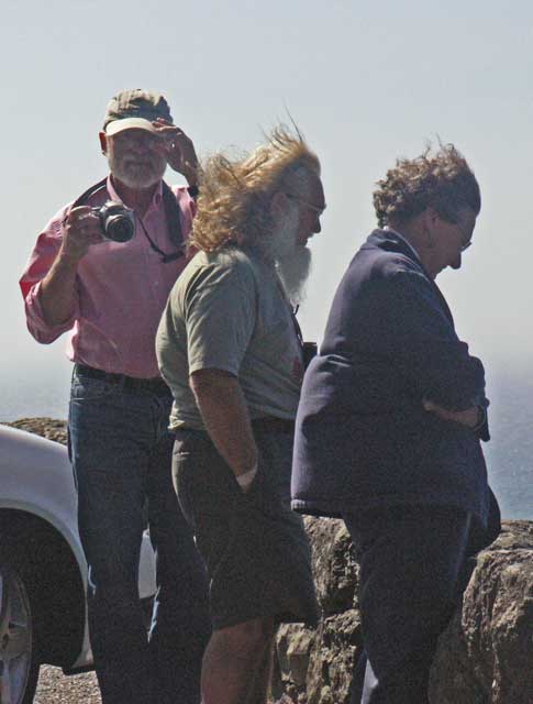
Jonathan, Theodore, and Laramie peering down at the sea lions.
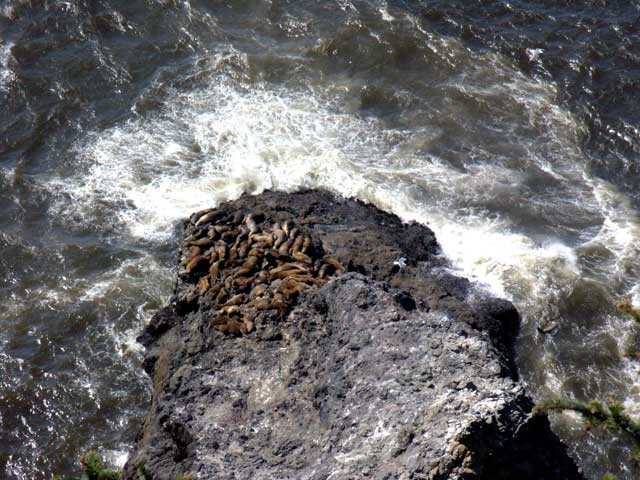
More basking sea lions.
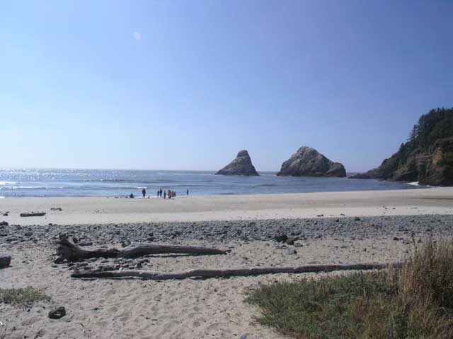
The beach at the foot of the lighthouse.
Looking up at the lighthouse and the keepers' quarters.
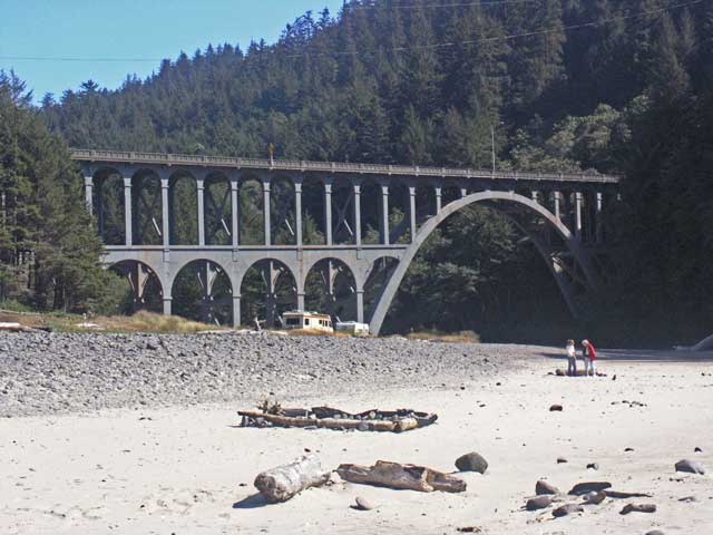
The bridge we crossed before getting to the lighthouse.
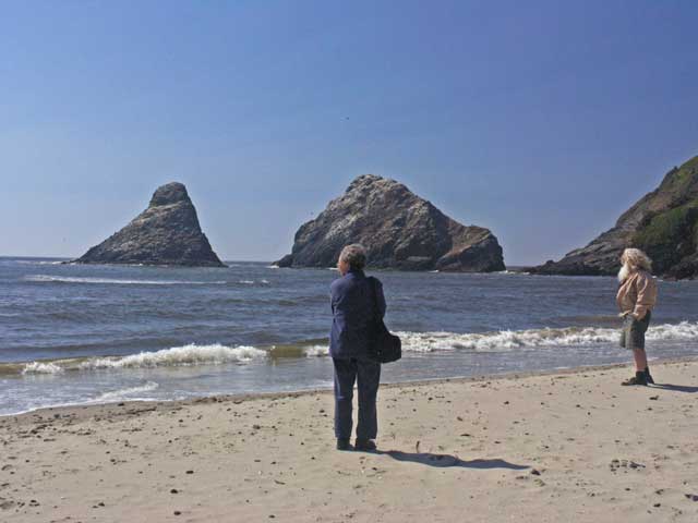
Walking on the beach.
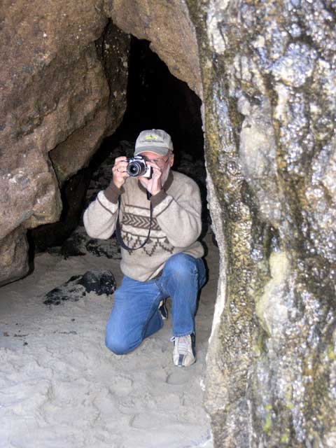
Jonathan taking a photo framed by the cave entrance.
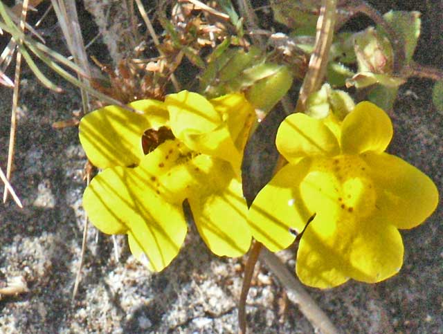
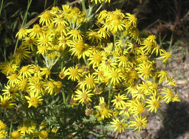
Some wildflowers along the beach.
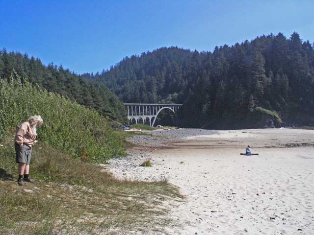
Looking southward along the beach to the bridge.
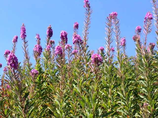
More wildflowers.
More wildflowers.
More wildflowers.
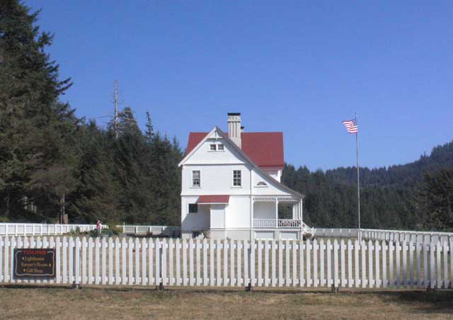
The keepers' quarters.
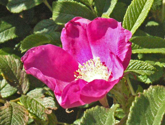
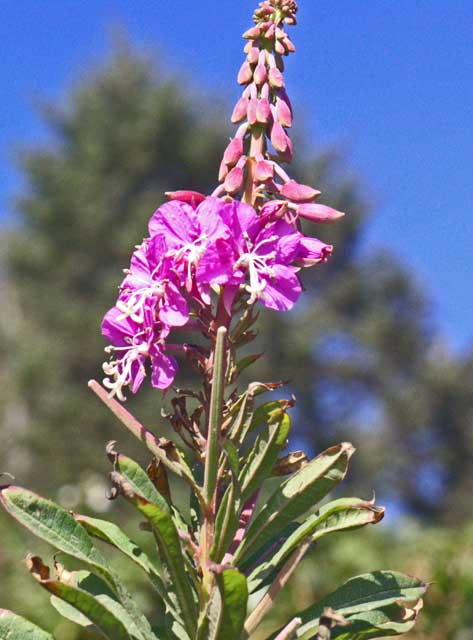
A wild rose?
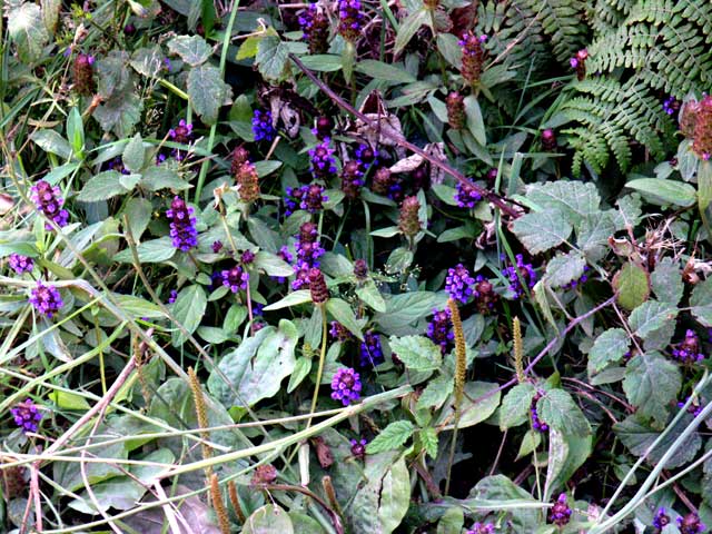
I think this is more Prunella.
Looking southward as we climbed the hill to the lighthouse.
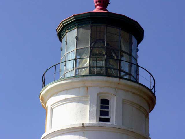
The lenses of the light.
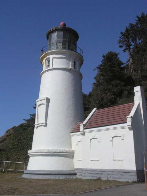
The lighthouse up close.
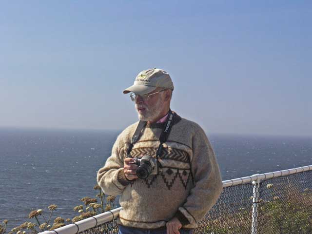
Jonathan taking in the view.
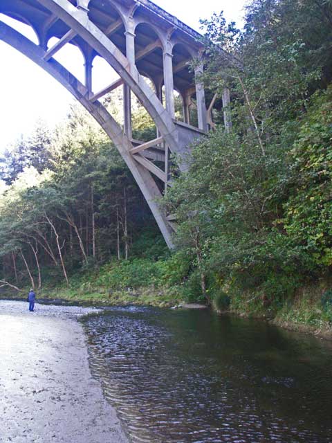
The creek under the bridge.
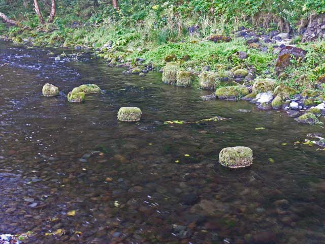
Old moss-capped pilings show evidence of a previous bridge.
Walking along the creek.
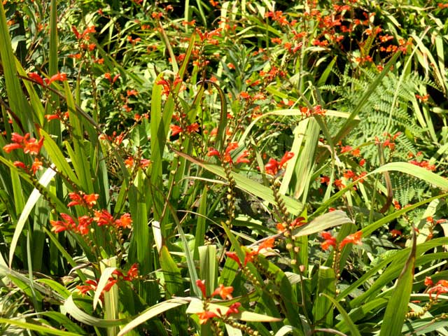
Wildflowers.
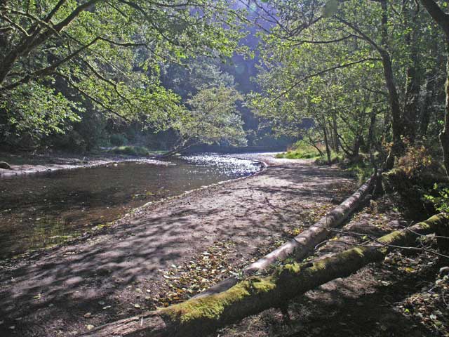
More creek.
The view from the creek to the ocean under the bridge.
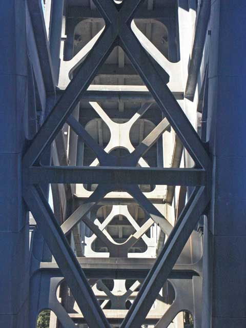
The bridge from underneath.
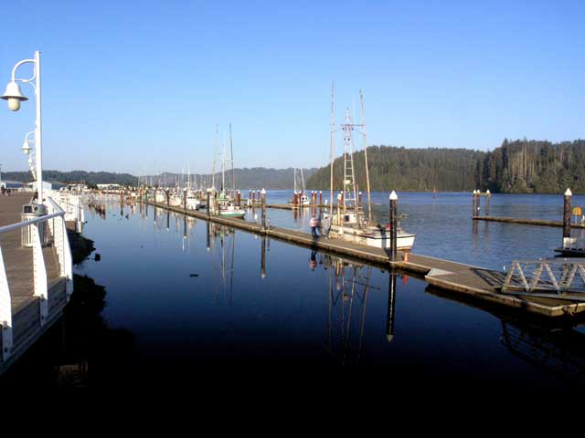
The harbor at Florence.
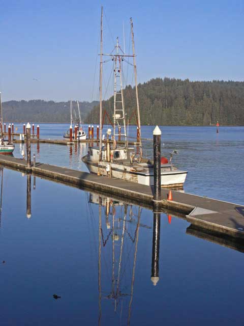
Boat reflections on still water.
Leaving early the next morning, we returned to I-5 South and continued into California where the 796 mile marker welcomes you to the Golden State. There's not much to report on the remaining journey. We followed I-5 to I-505 to I-80 into the San Francisco area, taking I-680 around the east side of the metropolitan area and circling through Dublin and Castro Valley to approach San Leandro from the south by I-580. Mike and Mary took us to a pleasant neighborhood Italian restaurant for dinner. On the 26th, we departed for Pasadena, opting to take US-101 for a more scenic and varied drive (as opposed to I-5 through the San Joaquin Valley - very boring until you reach the Grapevine at the southern end of the valley).
So now after processing all the images and the travelogue, we'll start planning our next adventure (also with Country Walkers) to southern Spain in the fall of 2006.