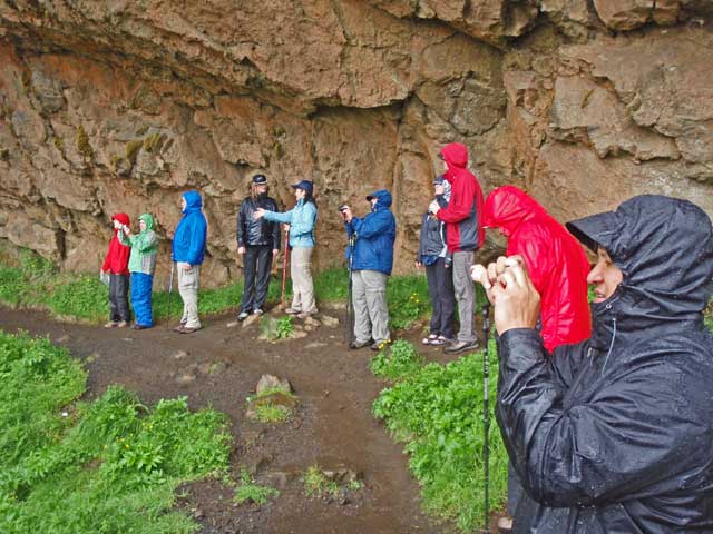
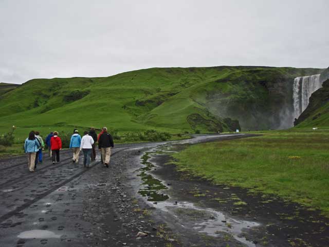
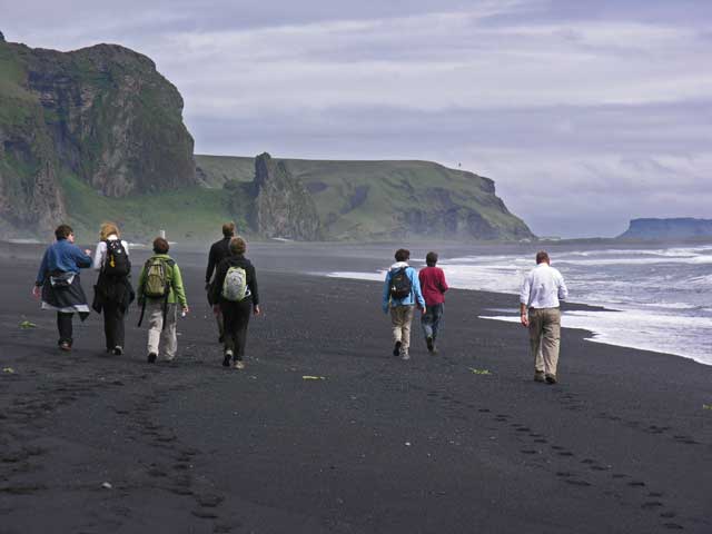
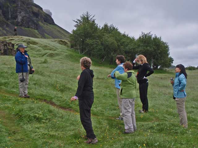
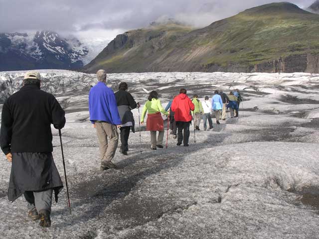
Lined up on the path - I can't quite identify everyone under their raingear.
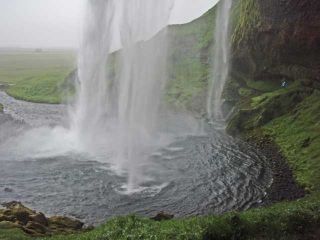
The next morning dawned windy and rainy, and after a filling breakfast, we were on the road towards Skaftafell. The first stop was Seljalandsfoss waterfall that drains off the Eyjafjallajökull glacier. The waterfall overlooks a flat plain that was inundated by the glacier melt from the second set of volcanic eruptions in April - these were the ones that were under the glacier, and caused all the air traffic disruptions in Europe. The ring road crossing this plain was gravel in a couple of stretches where a road crew, alert to the potential loss of the bridge over the river, opened several gaps in the causeway to allow the floodwaters to escape without taking the bridge with it. As a result, the ring road was restored quickly (being easier for fill a gap in the causeway than to build a new bridge). Once across the wash, we turned inland to the waterfall.
The path to the waterfall was actually a loop that went behind the waterfall. On this rainy morning, it turned out to be the driest part of the walk.
Lined up on the path - I can't quite identify everyone under their raingear.
The water landing in the pool below.
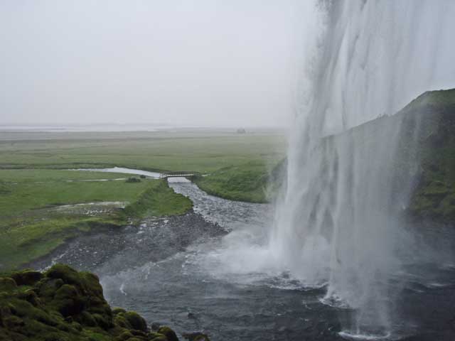
Showing the exit stream and a footbridge that we would take on our way back to the bus.

Kevin and Ronnie - I took this shot without the flash and leaned on the filters.

On this rainy day that wide place in the trail behind the waterfall was the driest part of the trail.
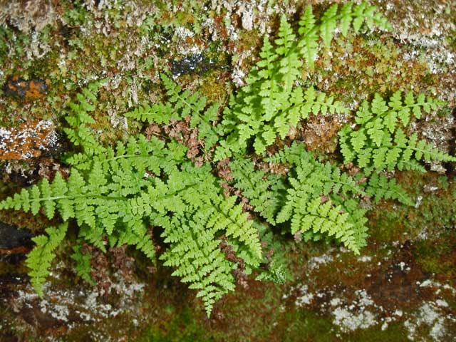
A fern perched on the rock wall behind the falls.
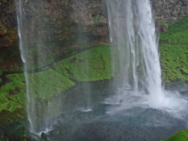
Another view opposite to the one above. You can see the path along the wall behind the falls.
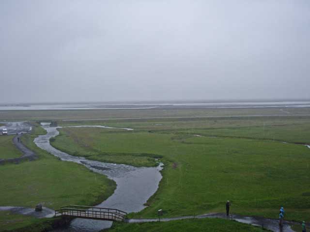
Looking out over the river wash - Markarfljót - that drains both Eyjafjallajökull and Myrdalsjökull.
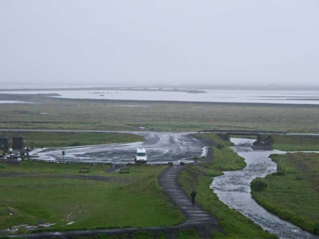
The bridge on the ring road, in the distance, …
The bridge on the ring road, in the distance, was the one that was preserved by strategically breaching the causeway and the ring road to allow the floodwaters caused by the eruption and glacier melt to escape.
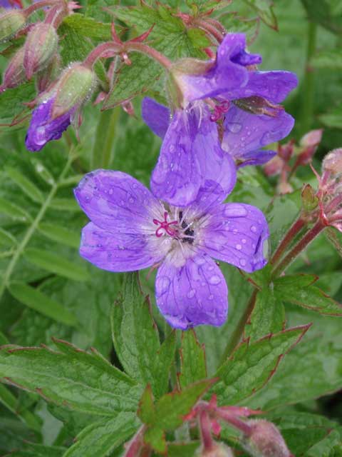
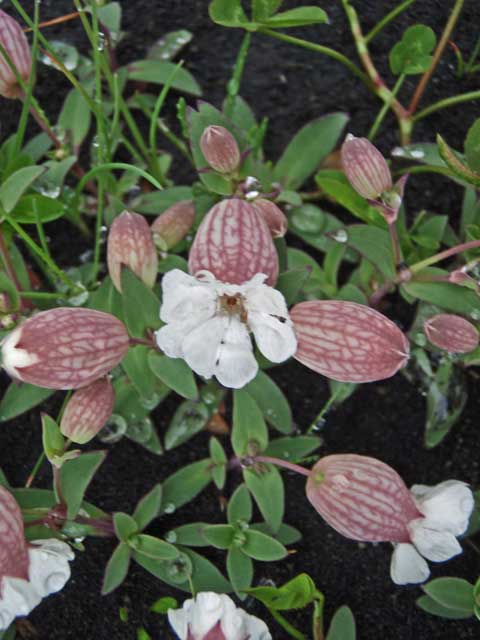
Wood crane's-bill (Geranium sylvaticum).
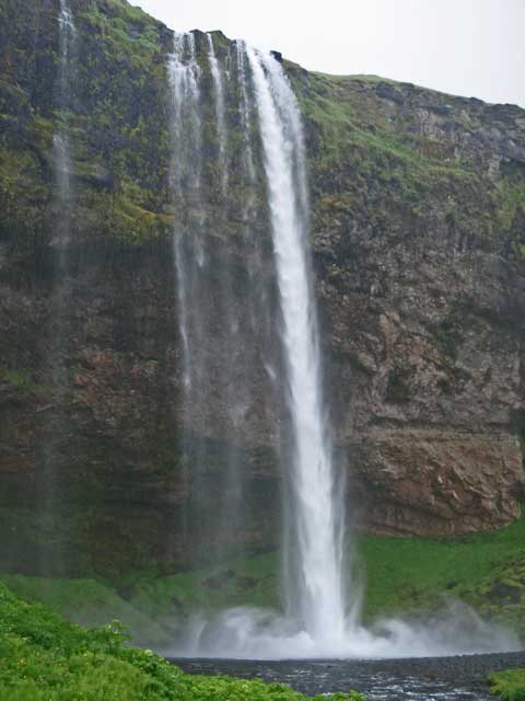
A more complete view of the waterfall.
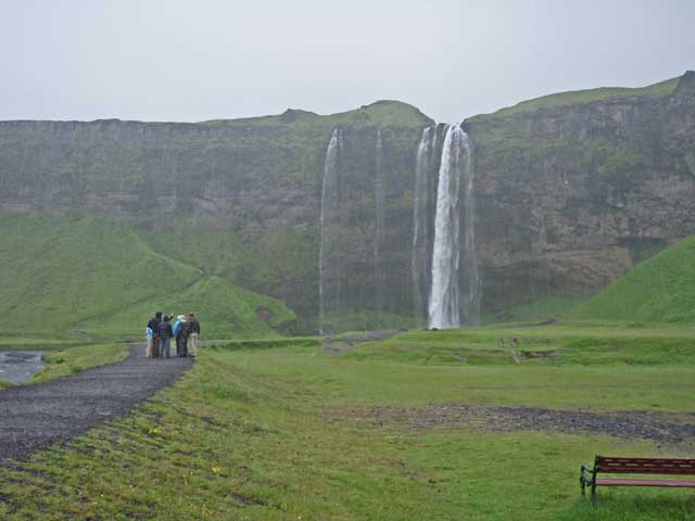
And at a distance. (I think you can see the rain falling in this image.)
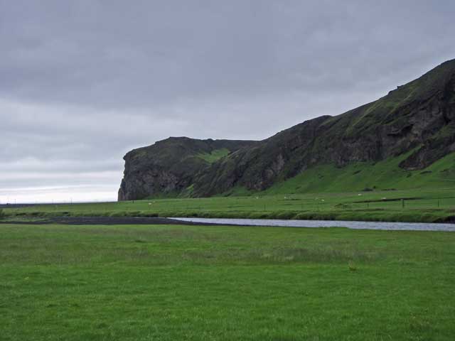
Continuing eastward on the ring road, the cliffs rose to our left and the coastal plains stretch to the right. Numerous waterfalls were visible threading down the face of those green walls, and in a pool adjacent to the road, a pair of swans were serenely gliding across the surface.
We stopped for another waterfall at Skógar. Skógarfoss is a wide cataract and quite high. There was a path up to the side of the falls that Jonathan and I passed on, although about half the walkers went up the trail. We had a guided tour of the folk museum in the village, which was quite nice and included a number of representative buildings (church, farmhouses) on campus.
On the short track to Skógafoss.
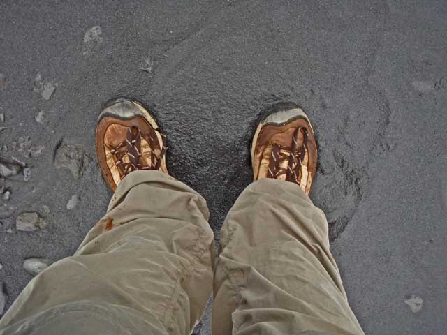
The light reflecting off the soil makes the color look lighter than the black it is.
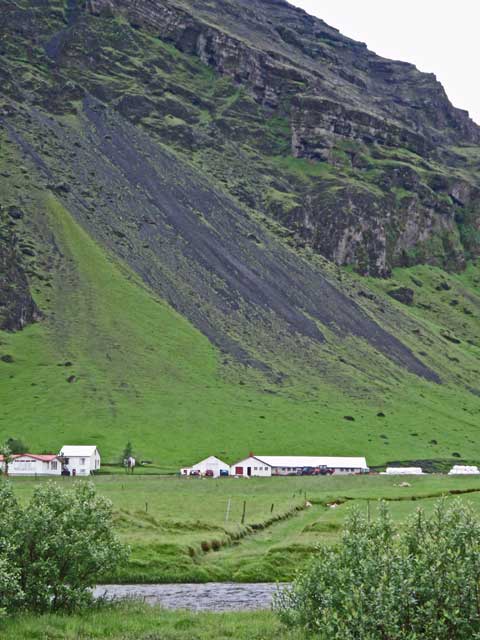
Farm buildings hugging the south facing slopes of the island.
Sea campion (Silene uniflora).
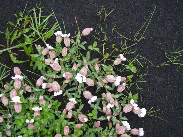
Another shot of sea campion - note the black soil (ash).
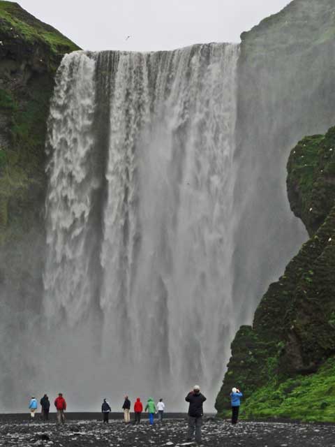
A full view of the falls.
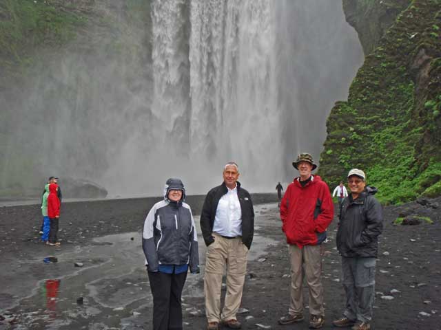
Ronnie, John, Kevin, and Paul.
Looking downstream.
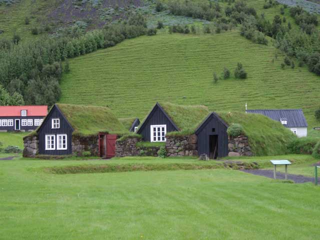
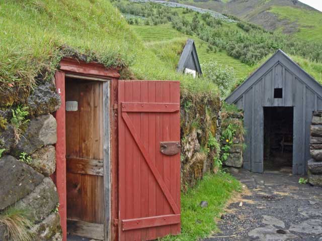
Some of the buildings on the museum - turf-roofed structures.
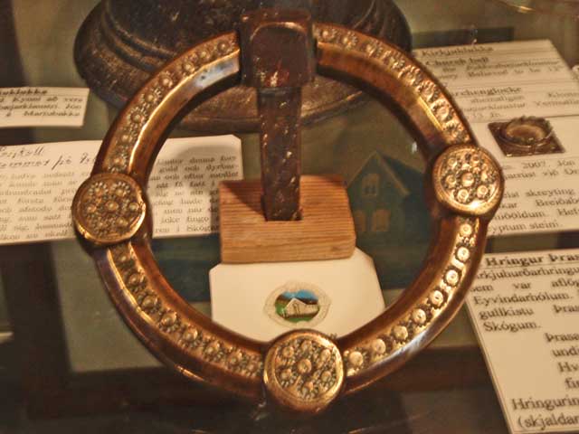
A slightly fuzzy picture of the ring of legend in the museum.
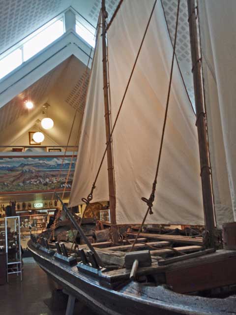
A skiff was part of the museum display.
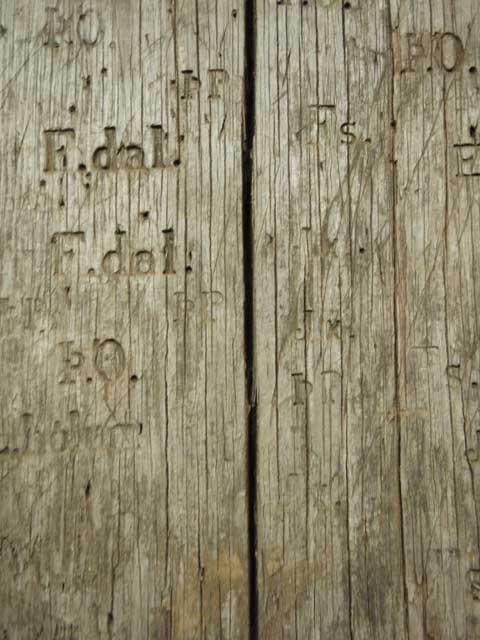
Embossing tools were on display, but I thought the output looked more interesting than the tool.
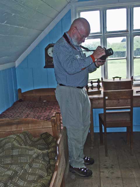
Jonathan checking his camera in one of the farmhouses on the museum campus.
A 'courtyard' amid the sod roofed houses.
We stopped in Vík for lunch (a generous and perfectly done breast of chicken with mushroom sauce, vegetables, preceded by a cauliflower soup with a very tasty multigrain bread for starters). After lunch we walked down to the black sand beach, and then back to a handicraft store where I picked up some trinkets for the girls and refrigerator magnets.
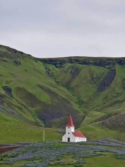
The church on the hill above Vík. We used this image for our Christmas card in 2011.
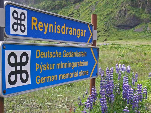
I took this shot more for the cloverleaf graphics on the signs - a familiar sight to Apple Mac users.
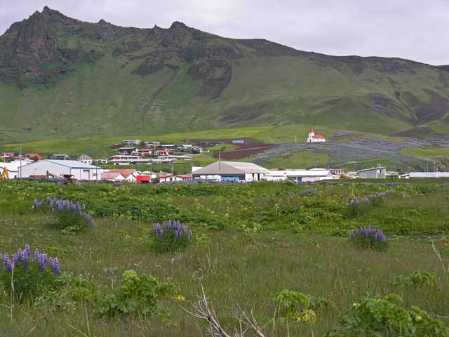
A longer view of Vík with the town visible below the church in the distance.
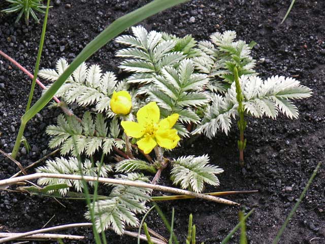
Silverweed (Argentina anserina).
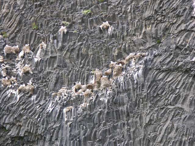
The lava face of this seaside cliff had a fascinating pattern. The white stuff is the guano from the nesting seabirds.
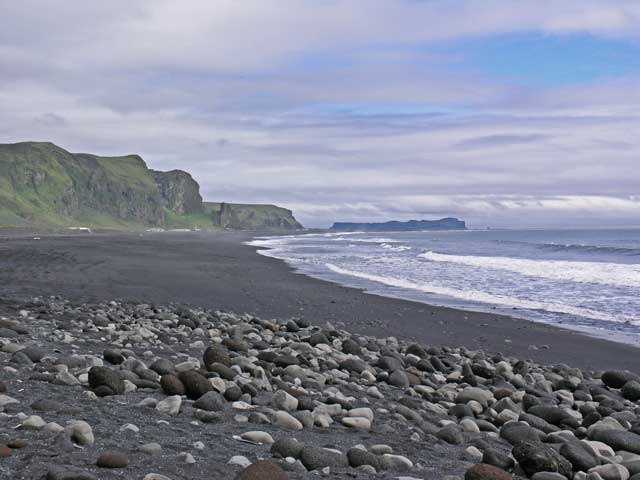
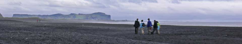
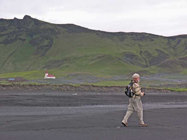
The black sand beach at Vík.
Heading down the beach.
Trying to capture the church, the lupine field, the green ridge, and the black sands.
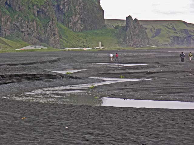
The river empties across the beach. I opted for the footbridge, but collected some nice black beach sand.
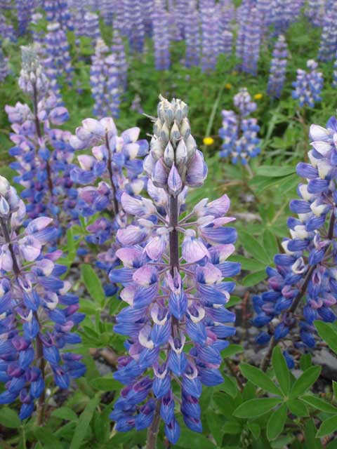
Lupine (Lupinus nootkatensis).
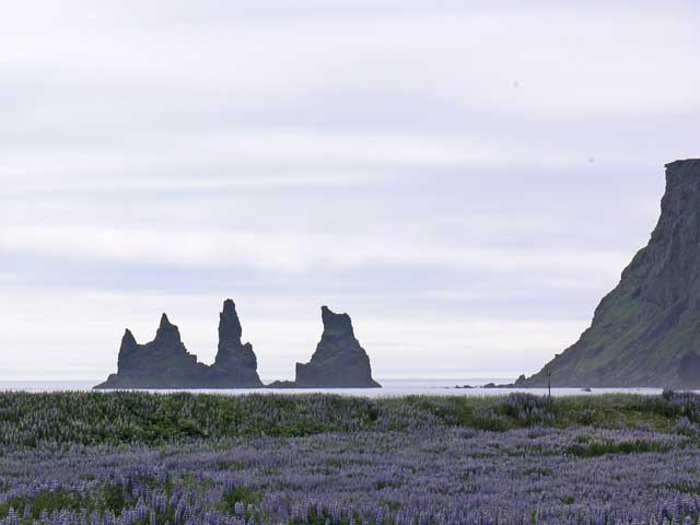
A view of the sea stacks on the west side of town.
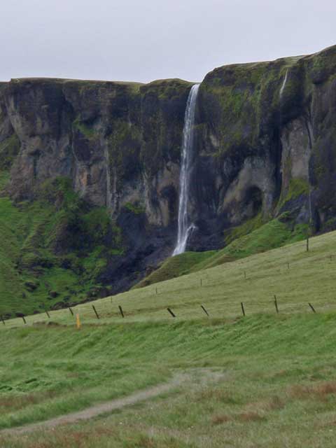
Foss near Dverghamrar.
Walking around the hill at Dverghamrar.
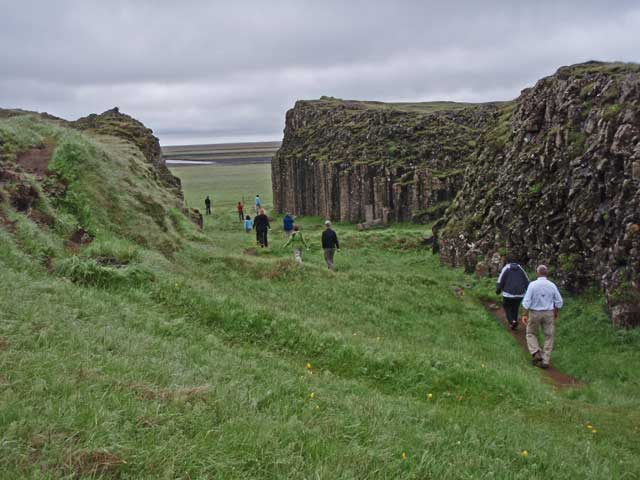
The Dwarves' Cliff.
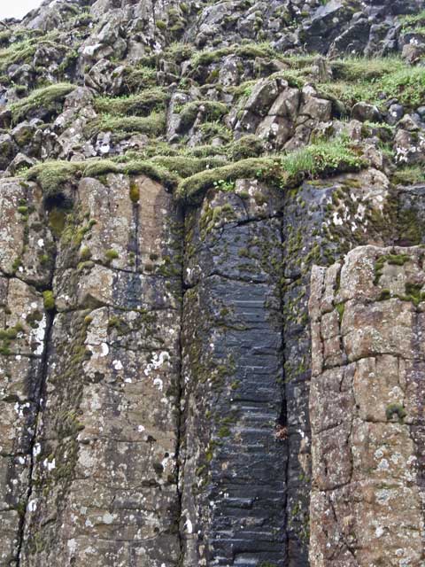
This image of basalt columns meeting a more disordered layer of lava is used at the background for this travelogue.
It seems Jerye has everyone's attention.
I get Kevin into the act of taking a picture of me taking a picture.
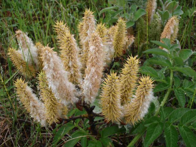
Wooly willow (Salix lanata).
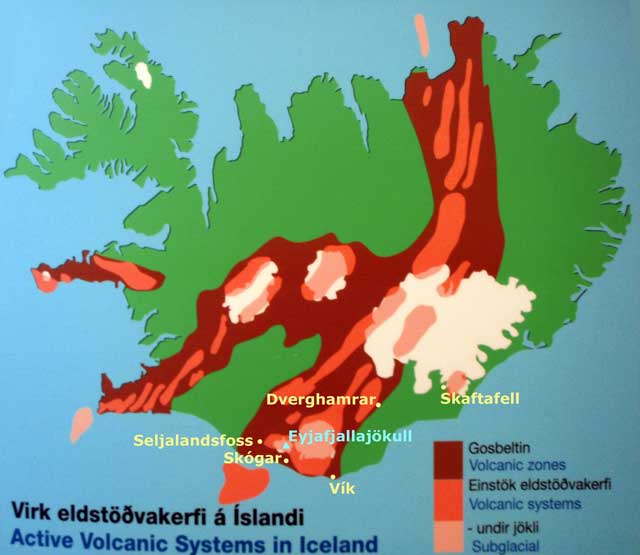
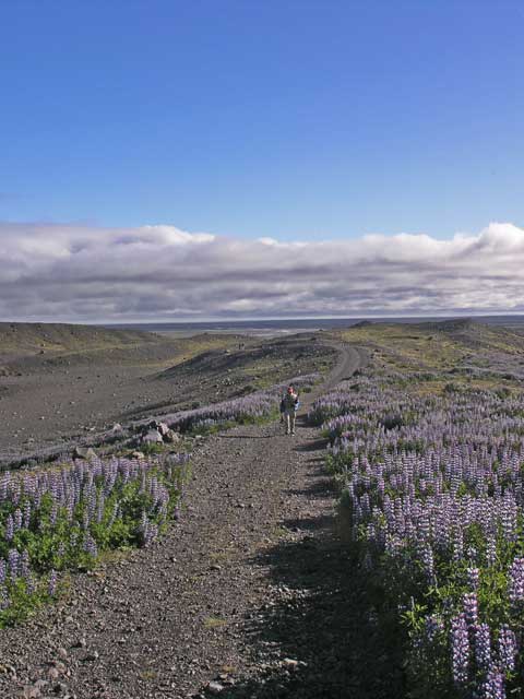
Traveling east from Vík there were areas where the plains were carpeted with lupines, that quickly turned into moonscape of sands and lime grass. There were also stretches of the road where the lava looked like rounded pillows stacked upon each other covered with olive green moss. These lava fields were the result of the 1783 eruption from a 25 km / 15 mile fissure with 135 craters that lasted 8 months, and covered 580 sq. km / 225 sq. miles. This was the eruption that altered global climate for several years, causing the temperature to drop (the Mississippi river froze as far south as New Orleans that year).
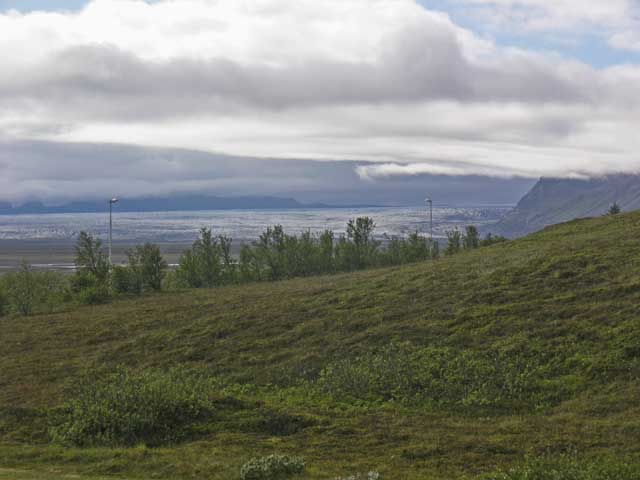
We stopped for dessert at Kirkjubæjarklauster - I had a cake made of stacked meringues with fruit and caramel - yummy! The ring road reaches its southernmost point in Vík and turns to a northeasterly track. The road passes close to the southern tips of the promontories that face south to the Atlantic, and then dashes across flat plains and washes. Soon a tongue of the Vatnajökull glacier replaced the promontories, as the largest glacier outside of the polar regions pours through the mountain passes to the sea.
Shortly thereafter, we arrived at the FossHotel Skaftafell. Krístin and Erling had suggested, and we all agreed, to flip the order of events for the evening - going for a walk on the glacier first followed by dinner at 2000. We checked into our rooms, then walked up the road behind the establishment to another tongue of the glacier (called Svinafellsjökull). The weather had begun to clear and by the time we reached the glacier, we had wonderful light. The gravel piles around the glacier got a bit mucky here and there (all that melting ice...) but the footing on the glacier was good and the crampons seemed more a precaution than a necessity for the walk.
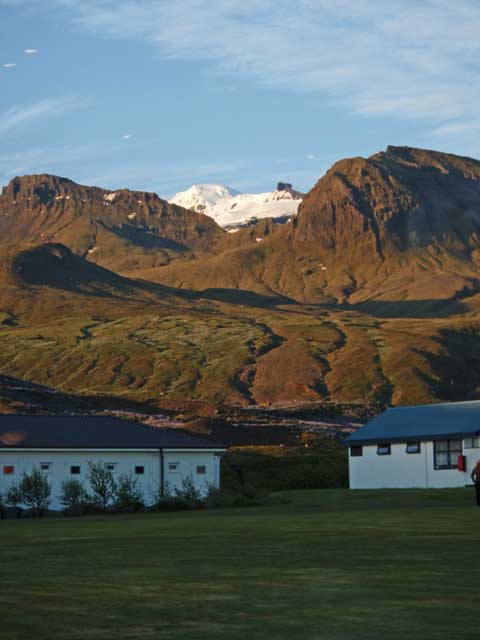
The glacial view from our hotel window. This is not the one we walked on.
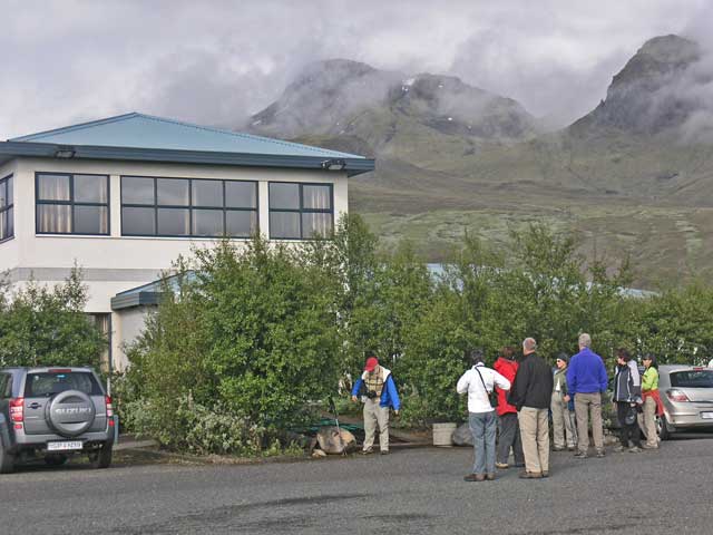
Gathering for the walk in front of the hotel.
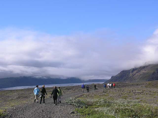
As we headed into the hills, the skies began to clear.
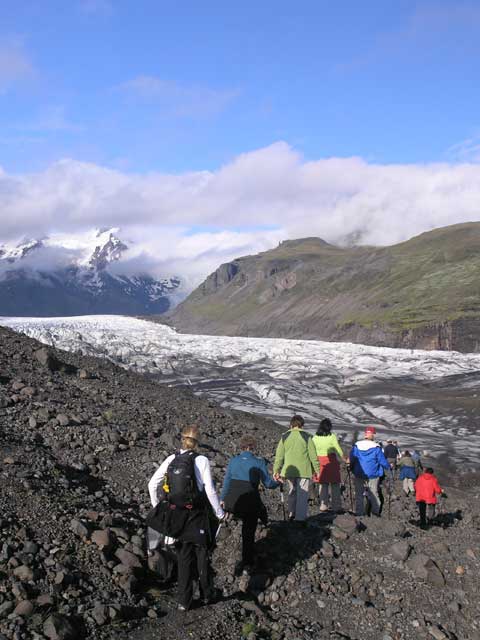
Walking to the glacier.
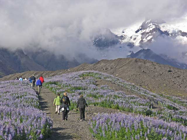
Walking between two fields of lupine. This was the image we used for the 2010 August Party invitations.
Jonathan bringing up the rear.
Leaving the road and crossing the moraine.
The stream draining the glacier…
… One tends to think of glaciers as pristine and white. But at least at the edges, they are quite messy and full of rocks and soil kicked up by its journey from the neve to the snout. They tend to look like a roadside snow bank at the end of winter.
Diane' pristine white jacket contrasted against the generally dirty messiness of the glacier.
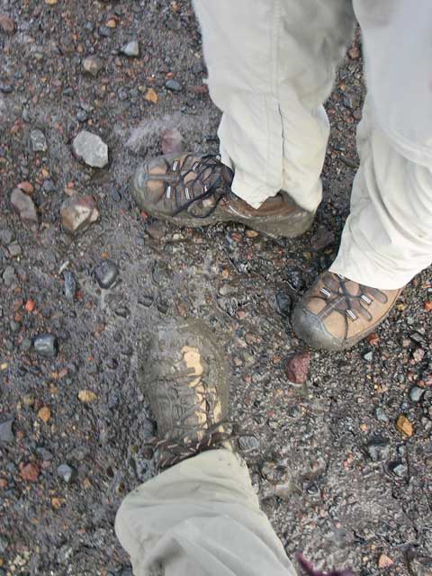
My boot (the lower one) christened in the muck of the moraine.
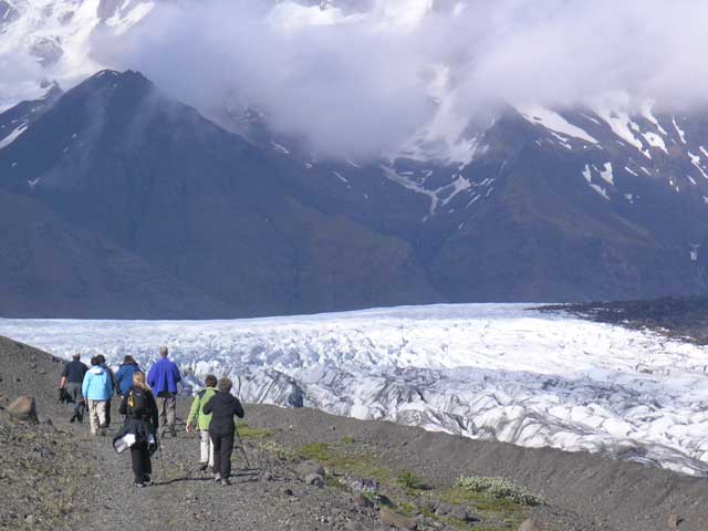
Heading out onto the glacier.

John stops to adjust his crampons.

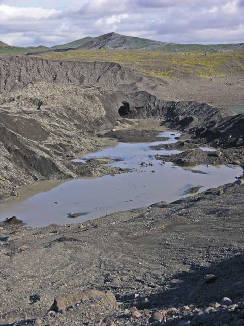
This tidy pile of gravel and sand…
…is the result of a 'well' where meltwater drains down into the glacier and accumulates the soil it carries with it. Then the glacier melts away to expose the accumulation.
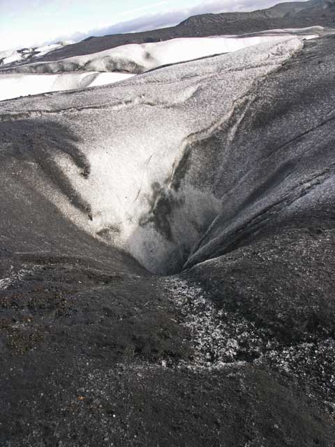
A 'well' that eventually could create a pile similar to the previous image.
Shirley capturing some images.
Jonathan taking a snap amid the ice field.
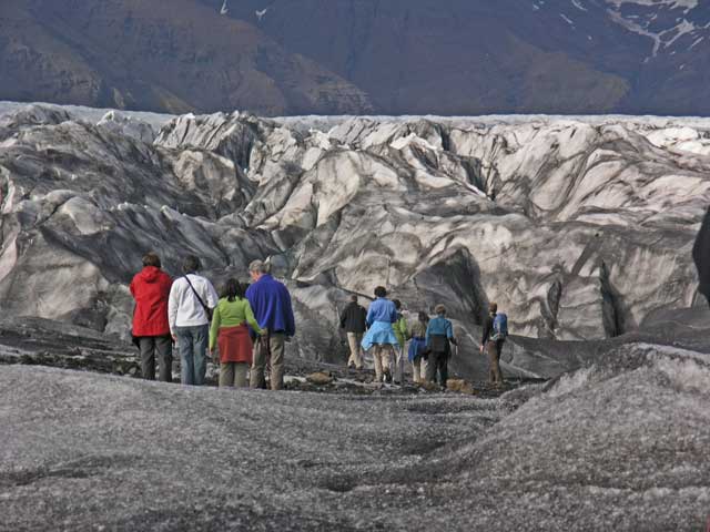
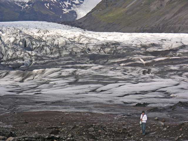
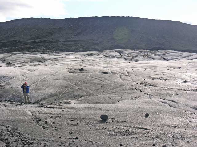
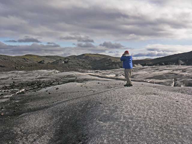
Facing the immensity of it all.

The walkers pause a bit.
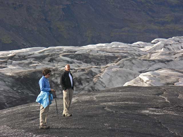
Margie and John taking in the experience.
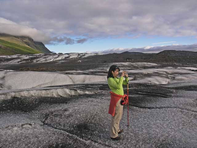
Jonathan was busy with his camera, as he was excited about the light we were getting from the clearing sky.

The sweater that he's wearing is a genuine Icelandic wool sweater, from in Copenhagen 36 years ago (1974).
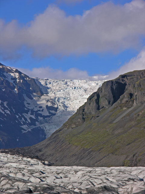
The icefalls from the main body of Vatnajökull that produce this tongue of the glacier named Svinafellsjökull.
Taken at 10:05pm from the dining room of the hotel, and the sun has not set.
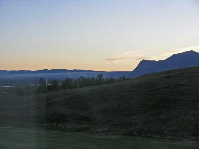
The sun has set, but it won't get darker before it rises again in a couple of hours, 5 days before the solstice.
Retracing our steps, we returned to our rooms, showered and hurried to dinner - Jonathan and I were the last to arrive just as the appetizer of smoked salmon with a mustard dill sauce was being delivered. Both Jonathan and I had the lamb with potatoes and red cabbage followed by a dessert of a chocolate lava cake, served hot, with a scoop of vanilla ice cream on top. Jonathan and I stayed at the table to finish the journal entries then headed for bed.