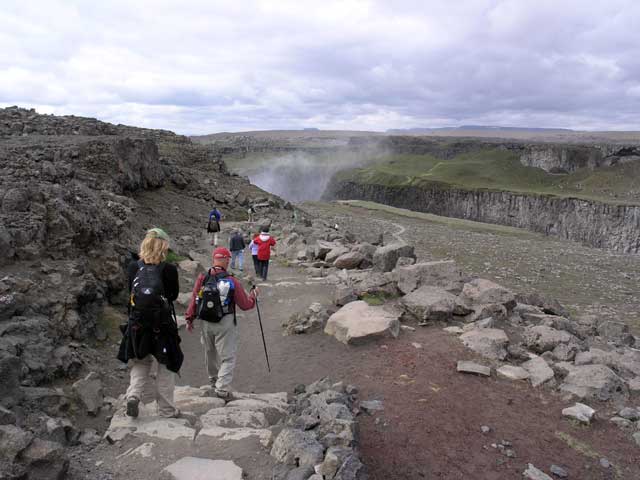
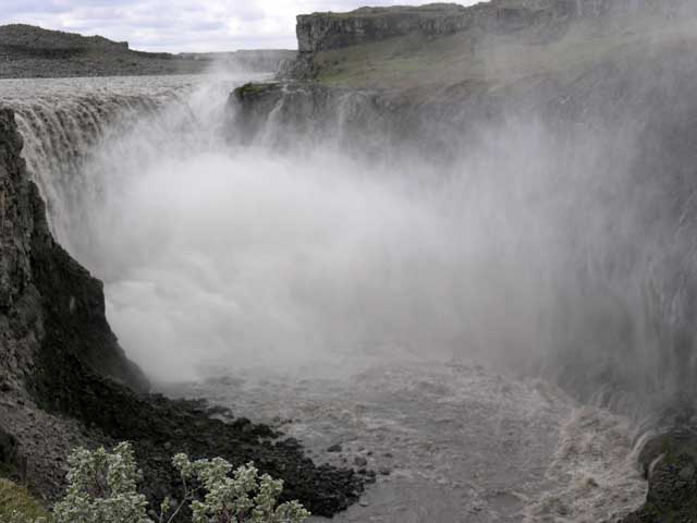
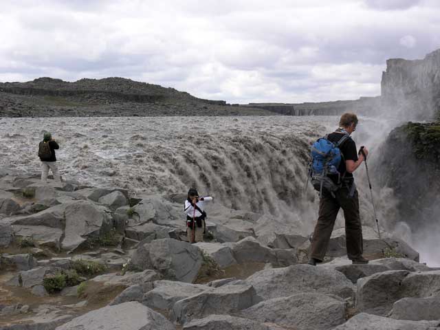
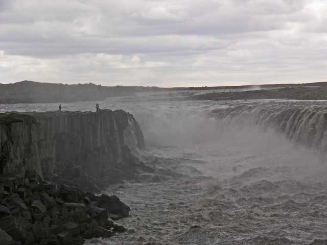
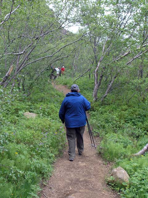
Heading down the rocky trail - the mists announce the location of Dettifoss.
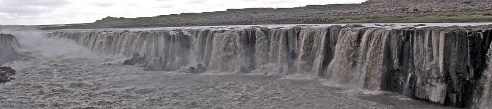
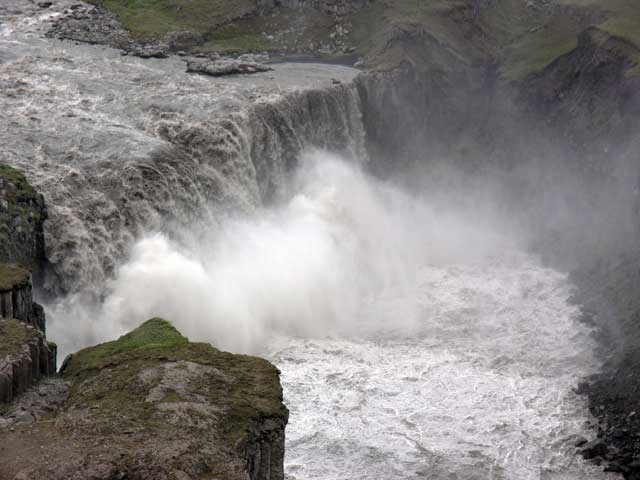
The next morning we piled into the bus to head to Jökulsárgljufur National Park. Kristín warned us about the condition of the gravel road that had just opened two weeks earlier after being closed for the winter – in that sense the road certainly lived up to expections. Rough and wash-boarded in places, it was a bumpy ride, although Hulda’s expert steering helped greatly. We pulled off the road into a parking lot, and the mist rising from the canyon announced the location of the falls that were hidden from view. The midges were present, but the insect netting over my hat did the trick and kept the little buggers out of my face and ears. We then descended the rocky trail to the falls, Dettifoss, the largest in Europe.
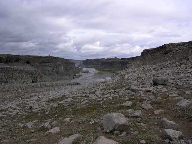
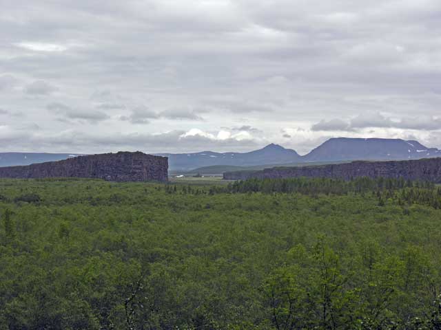
The river, Jokulsá á Fjöllum, drains the Vatnajökull glacier to the south. The river is full of glacial grit and flour giving it a grey color. The volume of flow is also quite impressive. We stopped besides the falls to observe for several minutes before continuing upstream to the Selfoss cataract. We then retraced our steps along the river over rocks and occasional open areas of dirt back to the steps up to the parking lot.
Returning to the road, we continued northward another mile or two to another turn-off with a parking lot and another impressive waterfall Hafragilsfoss. We had lunch here beside the parking area with the falls visible below. These falls looked like it had a row of geysers at the bottom of the falls the water was rebounding upward with such great force creating a huge plume of mist. We finished lunch with a dessert that combined what looked like strawberry preserves and extremely heavy cream.
Continuing our northward trek on the gravel road after lunch, we eventually achieved pavement as the road ended at an intersection near our next destination of Ásbyrgi. Here we visited a local museum (nicely done) on the local geography and wildlife. The main attraction here was the formation described as the hoofprint of Odin’s eight-legged horse, Sleipnir. It’s a horseshoe shaped valley with vertical walls and a “center island”. According to Erling, the 100 meter tall walls were created by a catastrophic glacial flood resulting from volcanic eruptions.
By this time we were above the 66°N parallel (latitude), although we wouldn’t get to the Arctic Circle at 66°33’. Our route now headed west and north to follow the coastline, circling southward into a broad bay where Húsavik lay on its eastern shore.
We stopped for a brief rest in Húsavik, with most of us stopping into a restaurant on the waterfront for coffee and dessert. Jonathan and I shared the “skyramisu” which presumably replaced the mascarpone with skyr. It was delightfully light and I could have eaten more. We also stopped next door called 66°N where we picked up some unique hair ties for the girls in Greene. The bus continued south from Húsavik back to our hotel at Lake Mývatn.
Heading down the rocky trail - the mists announce the location of Dettifoss.
Looking downstream.
The falls and the huge plume of mist.
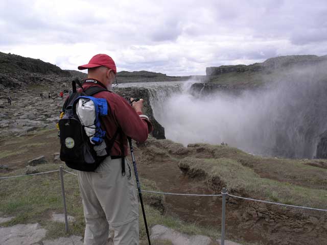
Jonathan checking his shot.
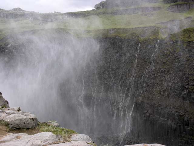
Another shot of the mist and other ancillary water falls.
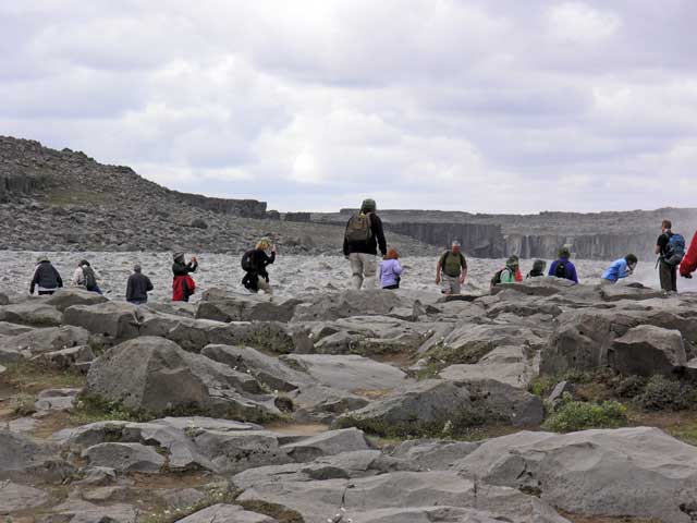
The walkers evenly spaced out.
Paul, Shirley, Erling.
Margie and the mist (and the midges!) The fuzzy spot in almost the center of the image is a midge.
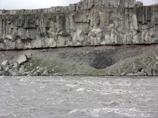
Across the river, the layers of lava exposed by the river's erosion.
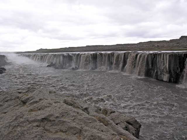
Selfoss, about a mile upstream from Dettifoss.
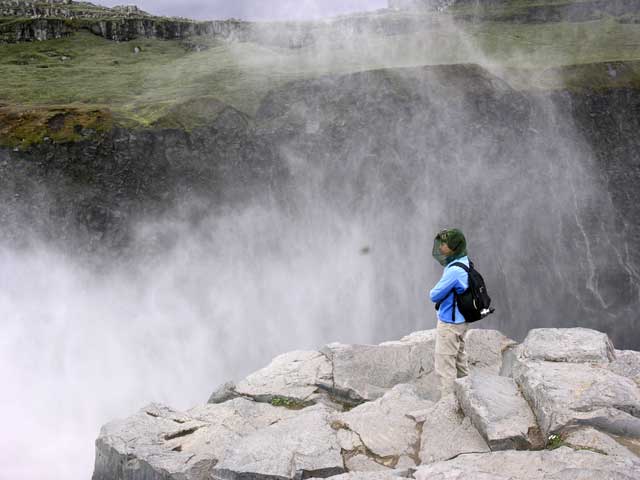
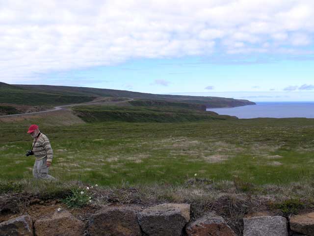
The promontory to the left (with the tiny figures) was our destination.
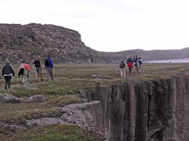
Heading out along the cliff's edge.
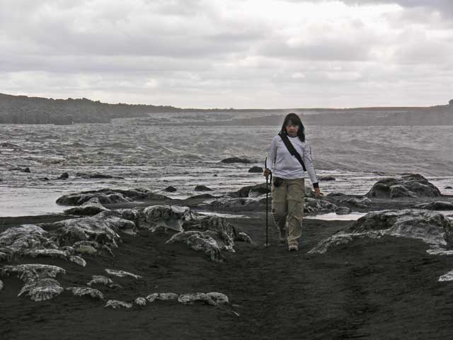
Shirley on the black sand by the river.
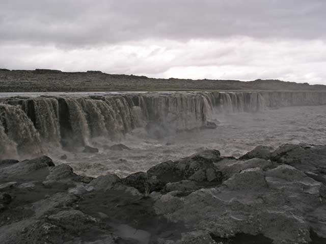
Selfoss from the other end.
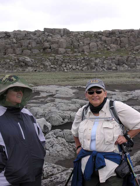
Ronnie and Jerye.
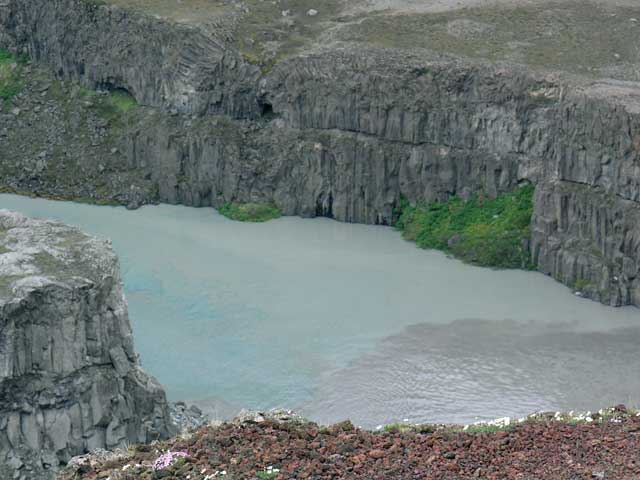
Downstream from Hafragilsfoss, another stream or spring (blue/green color) enters the river.
A still shot of Hafragilsfoss.
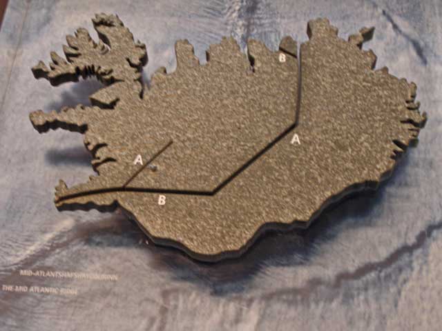
The faultline of the mid-Atlantic ridge bisecting the country is cut into a stone outline of Iceland.
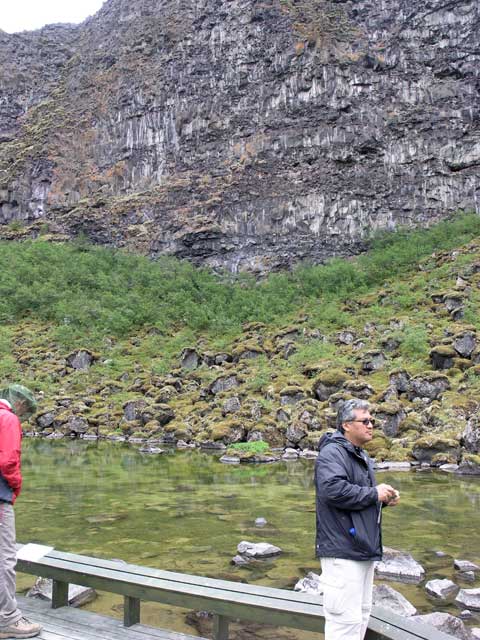
A pond in the lake in the horseshaped canyon.
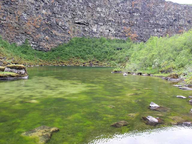
The pond, green with algae, was a refuge for waterfowl.
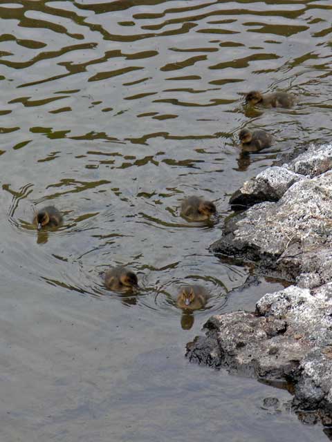
Ducklings.
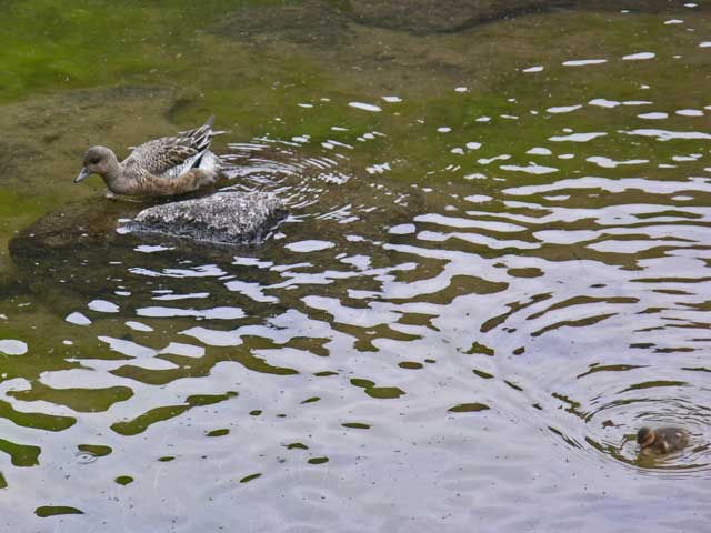
Momma duck and duckling.

At the canyon wall.
Looking out - the cliffs on the left are the center of the horseshoe shape.
Heading out of the canyon.
Looking north at Öxarfjörður, the bay north of Ásbyrgí; 66° lattitude here, just 33' from the Arctic Circle.
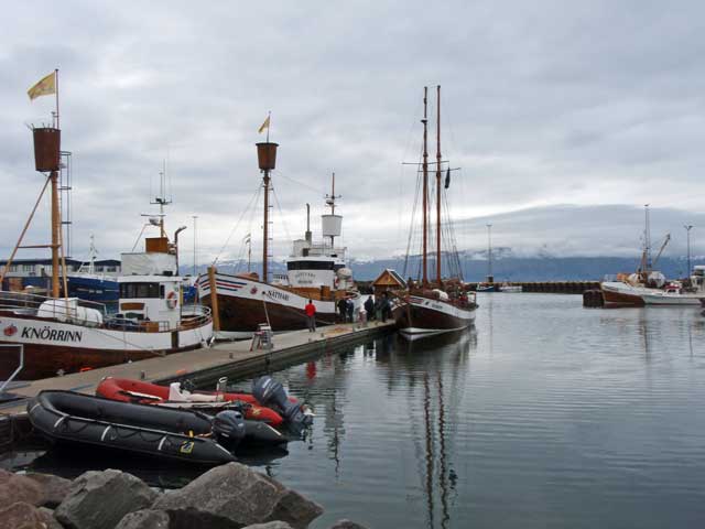
Húsavík harbor.
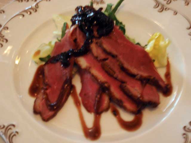
Smoked lamb appetizer.
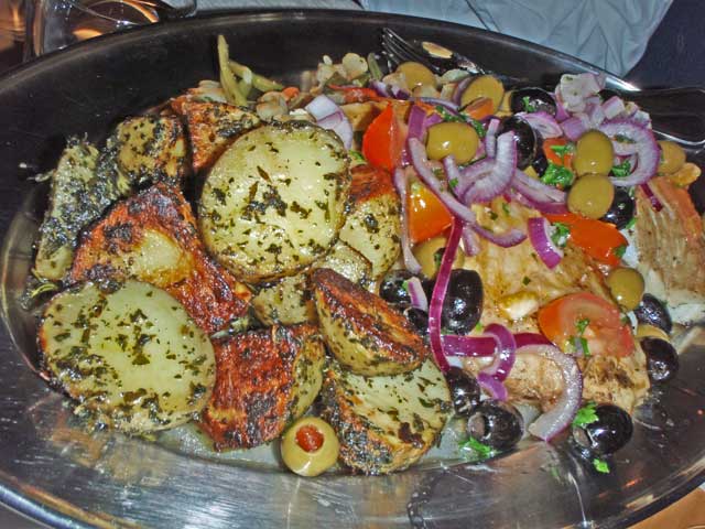
Salt cod with olives.
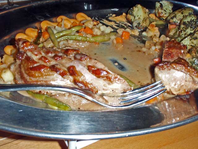
Roast lamb.
The dinner that evening was the farewell dinner for the tour. The main courses were served family style and consisted of lamb or salt cod. I had the salt cod, which was a bit salty but not over powering. Dessert was another form of Icelandic pancake – this variety looking like a crepe – stuffed with cream and berries. Afterwards, Kristín and Erling distributed farewell gifts. I got a leather bookmark imprinted with a flower motif in honor of my multitudinous snaps of the wildflowers. Jonathan got a deck of cards with the Yule Lads (and their tongue-twisting names) in honor of his ability to pronounce their names (and many other Icelandic words!) correctly. Afterwards, a folk singer performed in English as well as Icelandic for the entire restaurant.