Tuesday morning dawned cloudy. After breakfast, we changed into our hiking gear and prepared our backpacks.
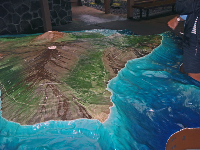
The tour outfit that I used for the Big Island is Hawaiʻi Forest and Trail, and the title of today’s tour was “Twilight Volcano Adventure, Experience the Magic of Pele’s Creation”. We were the last guests to be picked up by the van, driven by our guide Eugene. Our route took us to Hilo via the Saddle Road which goes through the pass between Mauna Kea on the north and Mauna Loa on the south. Also to the south, due east of Kona is the Hualālai volcano. The road rose continuously up into the saddle, but not so steep as to require switchbacks. Most of the land on the west side is grassland used for grazing cattle – although at the time of the arrival of the Europeans it was all dense jungle and forest.
In the saddle it was mostly grazing land (and military base) with low vegetation. As the road followed a lava flow down the eastern slope into Hilo, the vegetation got progressively taller and greener, and the climate progressively wetter.
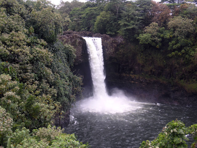
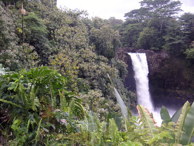
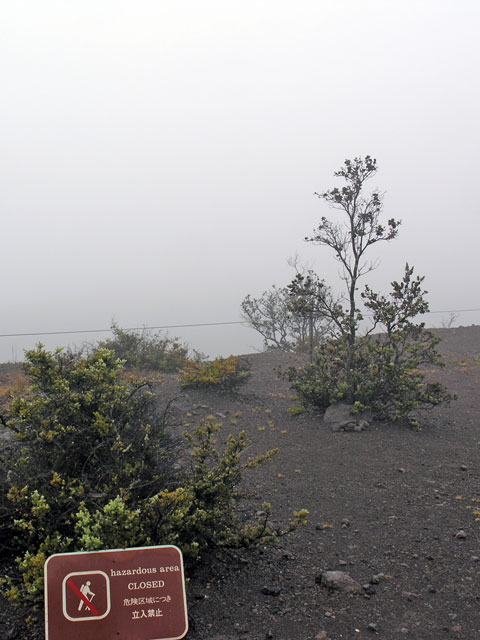
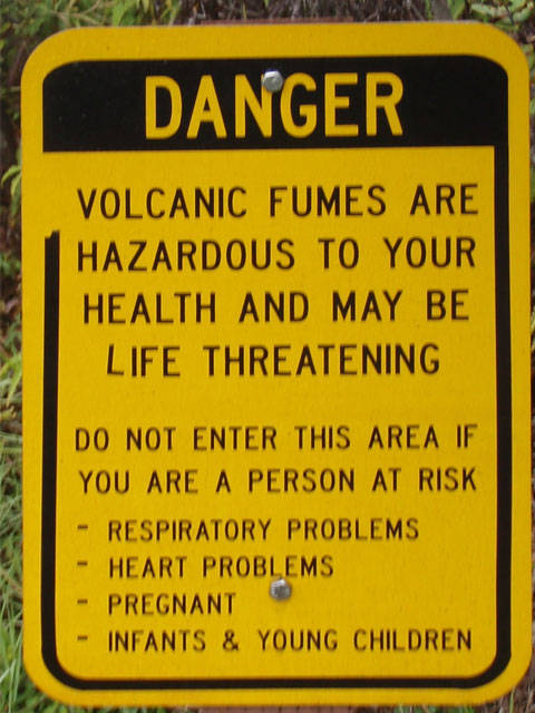
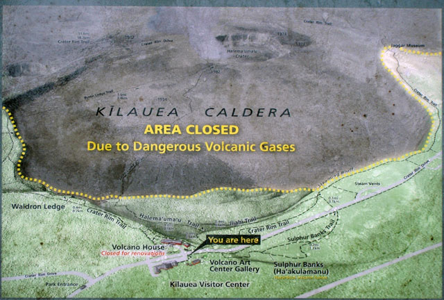
In Hilo we stopped at Rainbow Falls (shown in the video clip on the left), drove by the Oriental Gardens, and cruised Banyan Drive before heading south to Hawaiʻi Volcanoes National Park. When we arrived at the park entrance, the weather had lowered and it was foggy with heavy mist, which boded ill for observing lava at a safe distance. We drove along the rim of the Kilauea caldera to where the road was closed due to volcanic activity and corresponding hazards (i.e. SO2, sulfur dioxide) at the Jaggar Museum which is perched on the northern rim of the caldera. The fog hid the caldera from our sight, so we spent time browsing the museum and its bookstore/gift shop.
Rainbow Falls (0.6 MB, 0:05)
Click on the images for a larger view and narrative.
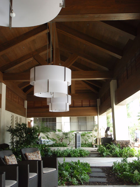
This is the front of the resort where we would wait for our bus/van.
Rainbow Falls in Hilo.
Rainbow Falls.
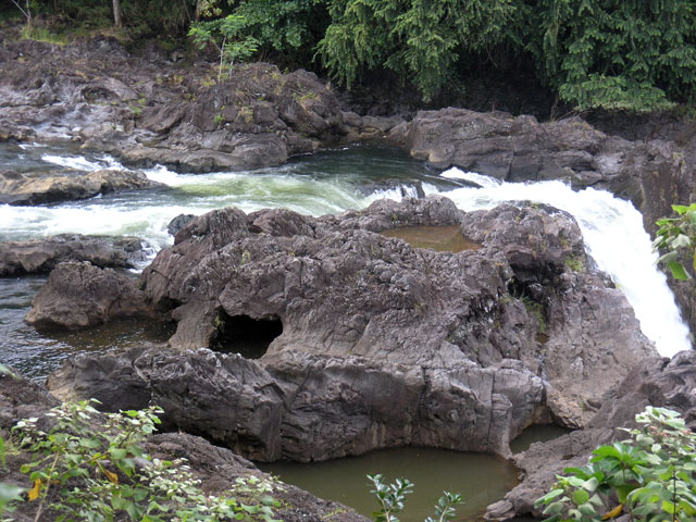
Downstream of Rainbow Falls.
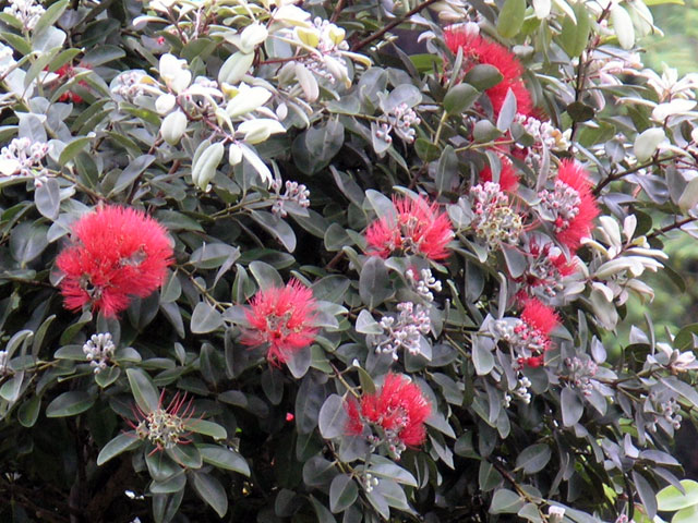
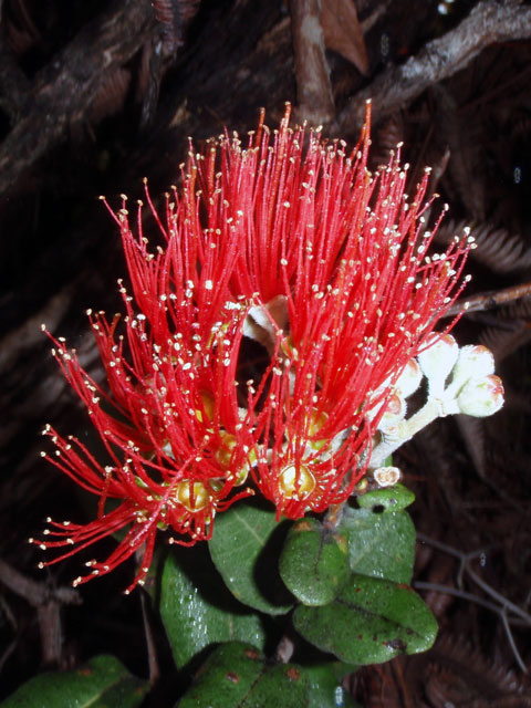
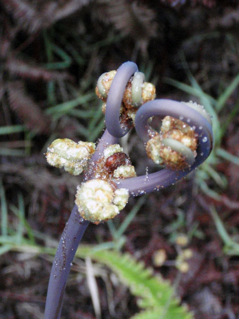
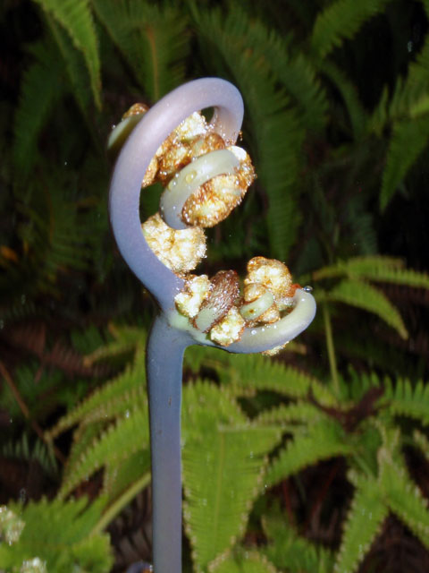
ʻŌhiʻa lehua (Metrosideros polymorpha).
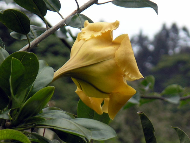
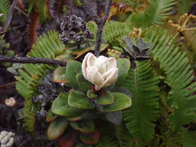
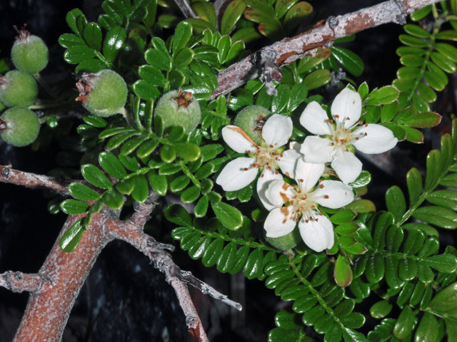
Cup of Gold (Solandra maxima).
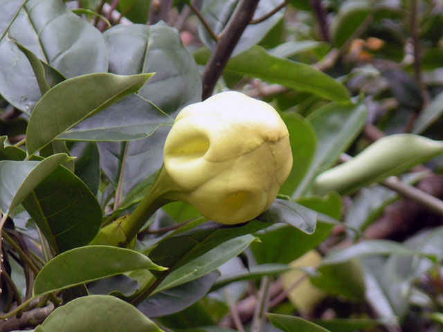
Cup of Gold (Solandra maxima).
Hawaiʻi Volcanoes National Park
Fog at the Jaggar Museum - the cadera/crater is beyond the edge.
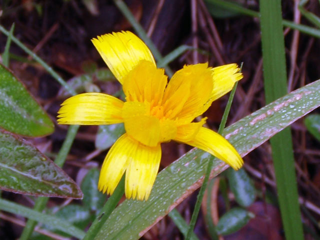
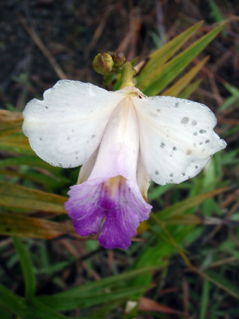
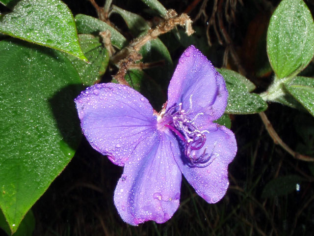
An unidentified yellow flower I spotted on the walk.
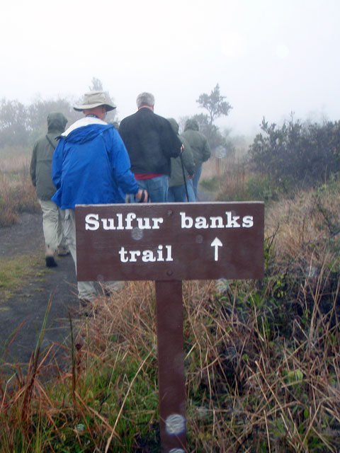
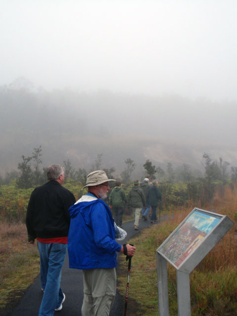
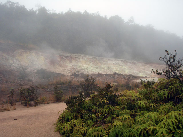
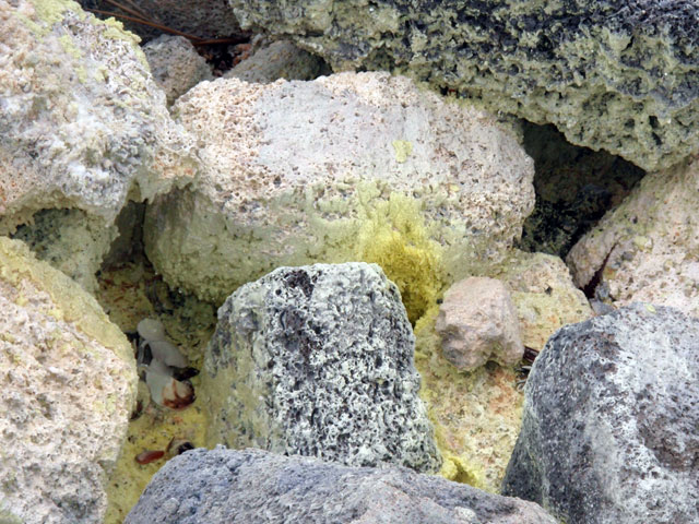
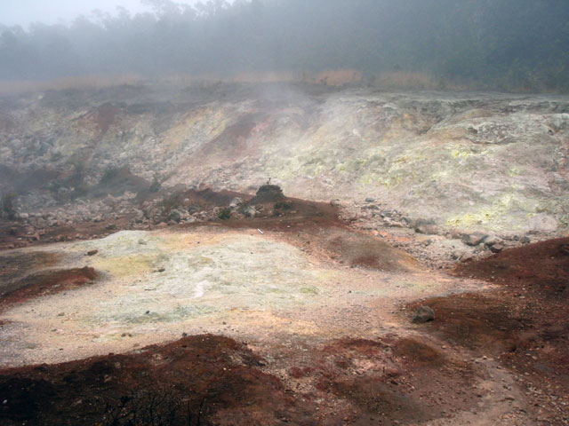
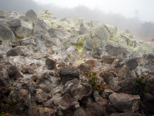
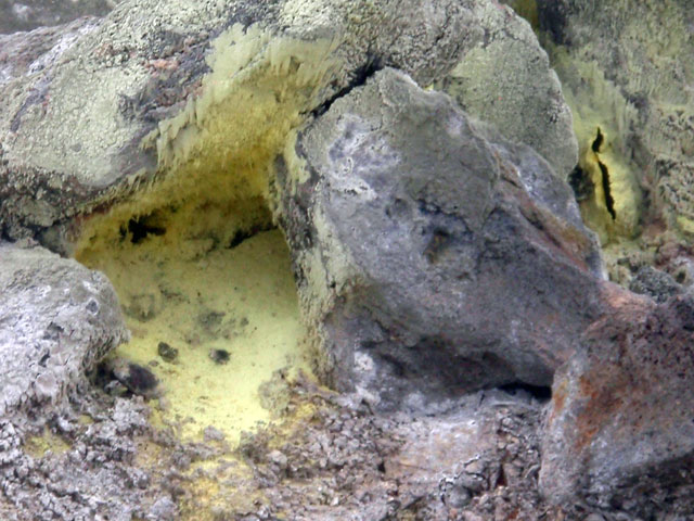
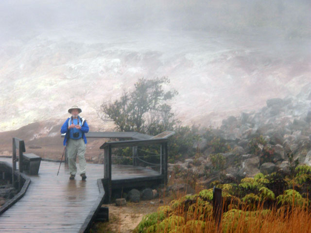
We returned to the park’s visitor center, not far from the park entrance, were Eugene parked the van and we began a short ~1 mile walk. The first half of the trail was along the edge of the caldera – which is closed due to high SO2 levels being emitted from the lava lake in the pit inside the Halemaʻumaʻu Crater which sits inside the caldera. At a number of places, warm steamy air rises from the various cracks and openings in the ground where rain water, seeping down to the heated layers below return to the surface as water vapor. From there we proceeded to the second half of the hike to the Sulfur Banks; Mark Twain described the sulfurous odor as “not unpleasant to a sinner”. Along the trail, Eugene found a couple of strands of “ Pele’s hair”, fine filaments of lava that blow readily on the wind.
Due to the heavy mist my big camera never came out of its Ziploc bag and I used the little waterproof camera for most of these photos. We reboarded the bus and headed down the Chain of Craters Road which leads down to the shore and hopefully out of the fog, and to where a lava flow from a vent, Puʻu Oʻo, was flowing down the pali (cliff) onto the coastal plain (the leading edge was about 2 miles from the ocean).
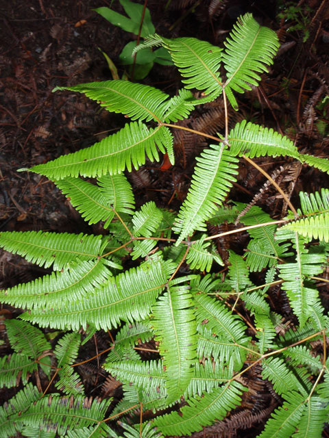
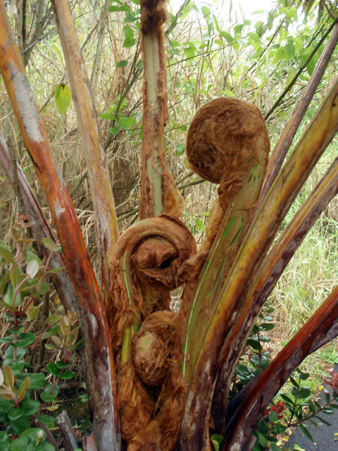
As we drove down the road we passed an area of rain forest, thick with tree ferns. Eugene described it as an “upside-down” rain forest as a large amount of light penetrates the upper story to the mid and lower story unlike the typical rain forest where most of the light is absorbed in the upper story. The border with the regular forest is rather abrupt, with the tree ferns disappearing in less than half a mile of road.
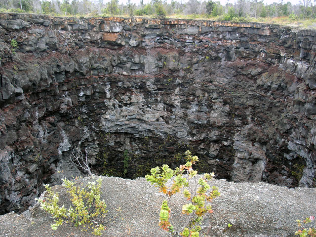
We stopped at a crater, more accurately described as a pit crater called “Devils Throat”, about 40(?) yards across, caused by the collapse of a subterranean chamber emptied of magma. The road crossed several lava flows that originated from the Mauna Ulu vent of Kilauea between 1969-74. We stopped and walked across the lava field where it had partially buried an earlier incarnation of the Chain of Craters Road. Throughout our descent from the visitors center (3980 ft. elev.), the fog had gradually diminished to where we had >5 miles visibility.
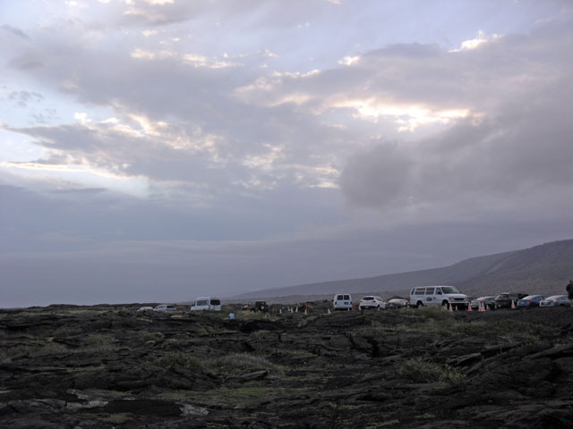
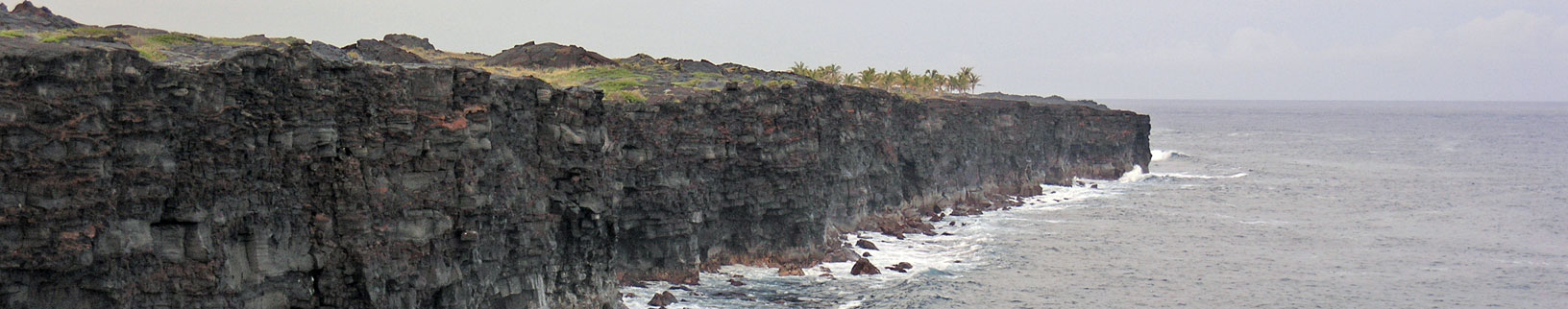
Once it reaches the shore, the road follows the sea cliffs to where the road is again consumed by a lava flow. At the end of the road, there were picnic tables that Eugene set up dinner while the rest of us peered eastward to try to get a glimpse of the lava.
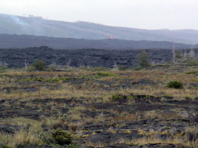
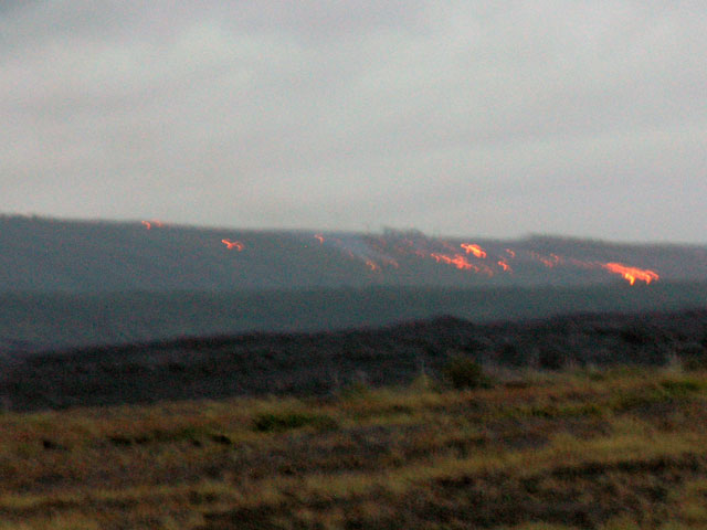
Coming along the road, there were clues to the presence of the lava, i.e. smoke from the forest fire, to suggest the flow was active, but it was difficult to see in daylight. As the sun set, the red glow of lava became more and more prominent as the light fled and our eyes adjusted to the darkness. The flow sweeps down the pali to the coastal plain, with the snout apparent. Eugene told us that the flow could reach the sea in a matter of days and it might be worthwhile coming back for a visit if it does.
Click on the images for a larger view
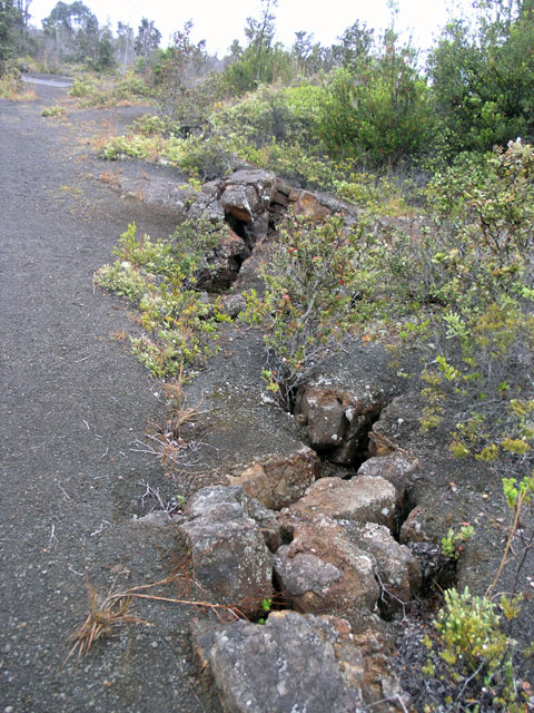
A rift - this section of the island could slide into the sea.
Devil's Throat.
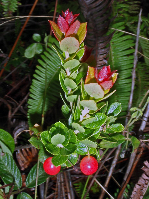
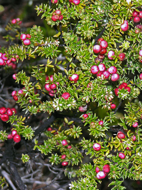
Pukiawe (Styphelia tameiameiae).
Pukiawe (Styphelia tameiameiae), I think ...
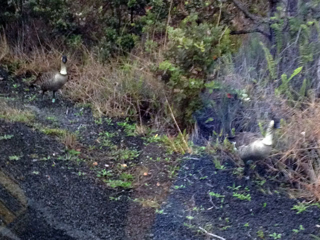
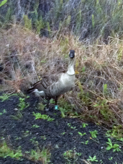
Nēnē through the wind shield.
Nēnē, (Branta sandvicensis, Hawaiʻian Goose) sporting a bright green band on its leg.
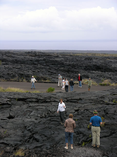
Looking at a lava flow across the coastal plain.
Checking out the old Chain of Craters Road, half buried under lava
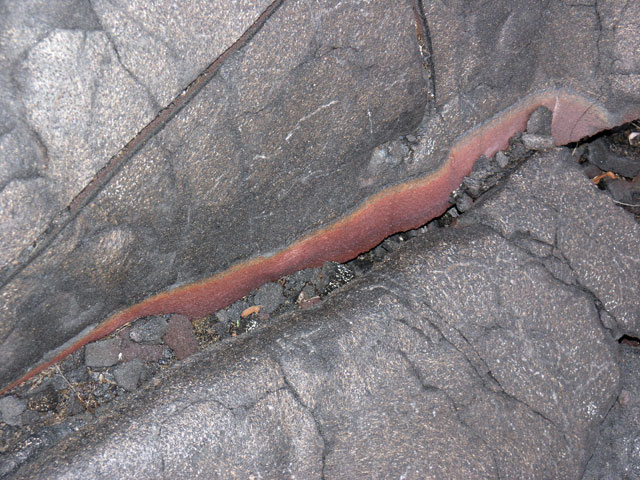
Lava - with some vein of iron rich residue.
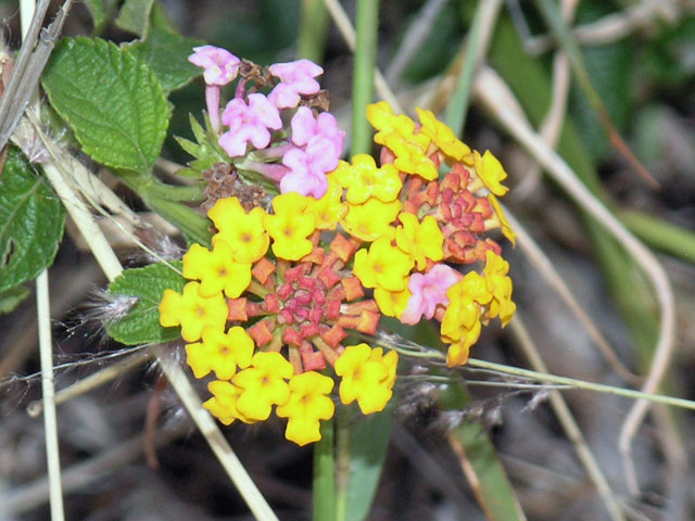
Lantana.
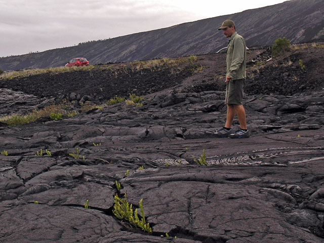
Eugene on the old lava - his tagline: 'Lava creates and lava destroys!'
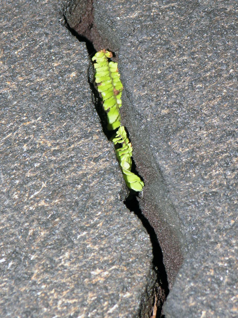
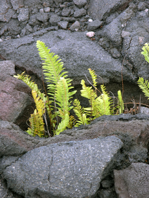
Life creeping back into the scene.
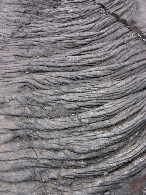
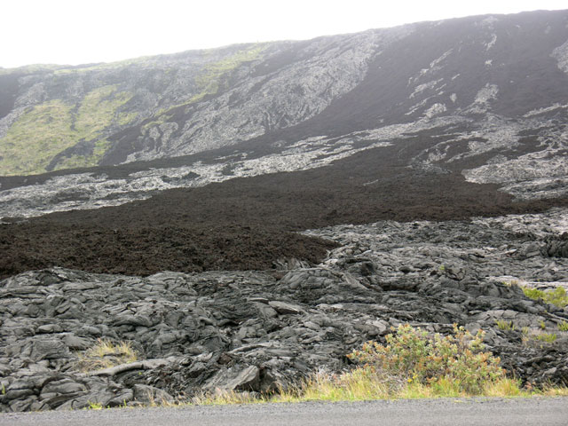
Pāhoehoe lava - characterized by the ropy look.
More life amid the lava.
The dark areas are ʻaʻa lava and the lighter ones are pāhoehoe. Chemically they're identical.
The Chain of Craters Road as it descends the pali.
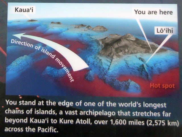
Plaque at the picnic area , explaining the hot spot and showing Lōʻihi - the rest of the text is below.
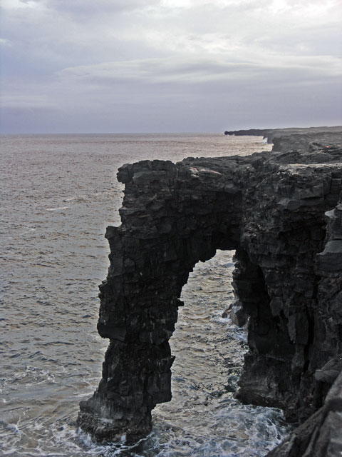
Hōlei Sea Arch.
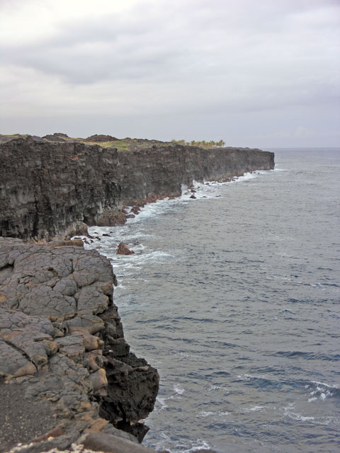
The sea cliffs march to the north.
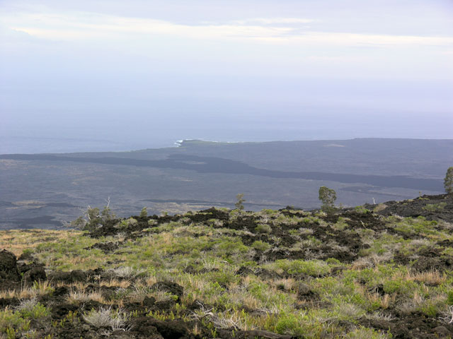
The coastal plain looking south.
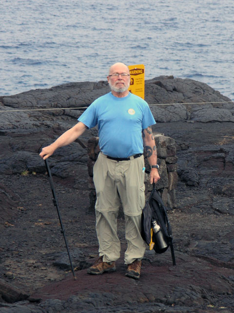
Mr. Lubin posing.
The smoke at the upper left was the first clue of an active lava flow, faintly visible to the right.
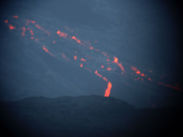
A tourist guide had a telescope, and let me attempt a couple snaps through it with the little camera.
As twilight progressed, the flow became more visible, also making photography more challenging.
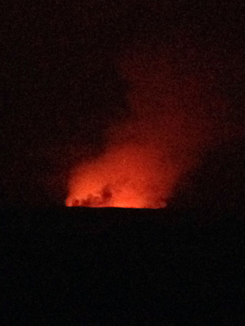
The glow on the volcanic gasses from the pit inside Halemaʻumaʻu Crater.
More glow - seen from the overlook at the Jaggar Museum - both these shots taken with my iPhone.
Park plaque: Just offshore, magma pushes through the ocean floor and new volcanoes come to life. Fueled by a hot spot, colossal volcanoes gradually build up from the ocean’s dark depths.At the horizon, about 28 miles (45 km) in the distance lies the submerged summit of the newest volcano – Lōʻihi (also known as Kamaʻehu in Hawaiian chants). At 3,180 feet (969 m) below sea level, the sun’s rays never reach its summit. These young volcanoes emerge to form the next new islands. Given time, some will grow into the world’s largest mountains.Riding the oceanic plate to the northwest, the great volcanoes drift away from the hot spot, become extinct, and erode into the ocean from which they were born.
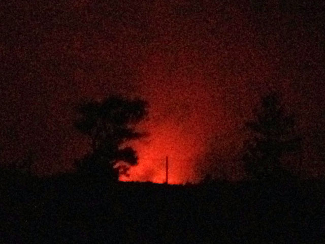
After an hour or more of watching the flow we headed back up the road. As we passed the visitor center, Eugene offered us a chance to go back to the Jaggar Museum to see if the weather had cleared enough to see anything. By unanimous consent we went back to the overlook and were rewarded with the clearing skies that allowed us to see the reflection of the glowing lava lake off the vapors.
 The tour outfit that I used for the Big Island is Hawaiʻi Forest and Trail, and the title of today’s tour was “Twilight Volcano Adventure, Experience the Magic of Pele’s Creation”. We were the last guests to be picked up by the van, driven by our guide Eugene. Our route took us to Hilo via the Saddle Road which goes through the pass between Mauna Kea on the north and Mauna Loa on the south. Also to the south, due east of Kona is the Hualālai volcano. The road rose continuously up into the saddle, but not so steep as to require switchbacks. Most of the land on the west side is grassland used for grazing cattle – although at the time of the arrival of the Europeans it was all dense jungle and forest.